13 Questions
As elevation increases, temperature _____.
decreases
When considering latitude, the closer one gets to the North or South (poles), the temperature ______.
colder
The borders of each of the states are examples of ____ borders, while the surrounding bodies of water are examples of ____ borders.
artificial/man-made, natural/physical
A population pyramid represents the structure of the population by gender and age at a given point in time within a country. According to the data on the population pyramids, _____ will experience a fast growth rate.
Age group with more younger people than older people.
Using the map above, make a generalization about the population distribution in South America.
Population density is highest in coastal areas
What is the term for a location with high population density?
Densely populated area
In which continent does the population density reach 300 people per square mile or more?
Asian major cities
What is the term for a location with low population density?
Remote area
If you lived in Australia or New Zealand, you would most likely live in a __ due to population density.
Remote area
Which location on the map has the largest population in Indonesia?
Java
What is the term for a heavily populated island?
Densely populated island
In South America, which location on the map is the most densely populated?
Coastal regions
What is a positive effect of the global positioning system (GPS)?
Safer travel and living conditions for humans and more accurate and efficient travel.
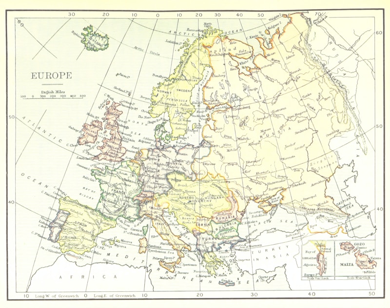
Test your knowledge of world geography and map reading with this completion quiz. Complete the statements based on the given world map, latitude, and longitude lines. Choose the correct answers from the drop-down menus to demonstrate your understanding of elevation, temperature, latitude, and longitude.
Make Your Own Quizzes and Flashcards
Convert your notes into interactive study material.