Questions and Answers
मेज क्या होती है?
चारों ओर से तेजी से बढ़ती हुई भूमि की सतह के लिए
मैदान का मतलब क्या होता है?
मुक्त समुंदर के ऊपर की सतह
पथरी क्या है?
ऊँची भूमि के लिए एक विशेष रूप
सामुंद्र किसका प्राकृतिक स्रोत होता है?
Signup and view all the answers
समुद्रों और समुद्रों की विशेषताएँ हैं:
Signup and view all the answers
सूखा हुआ क्षेत्र क्या होता है?
Signup and view all the answers
प्राकृतिक संसाधनों के दो प्रकार हैं:
Signup and view all the answers
पोलर मौसम क्या है?
Signup and view all the answers
पर्वतों के बीच में स्थित डिप्रेशन को क्या कहा जाता है?
Signup and view all the answers
'तापमान, मौसम, प्रकृति' में से किसका पैटर्न होता है?
Signup and view all the answers
Study Notes
Geography: Understanding the World's Physical Features
Geography is the study of the Earth's physical features, human activities, and their interactions. It is a discipline that combines geology, meteorology, ecology, and anthropology. In this article, we will explore the subtopic of physical geography, focusing on the Earth's landforms, bodies of water, climates, and natural resources.
Landforms
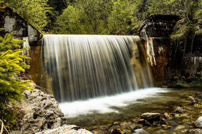
Landforms are the natural features of the Earth's surface, including mountains, plateaus, hills, plains, and valleys. They are formed through various geological processes, such as tectonic plate movements, volcanic eruptions, and erosion. Some notable landforms include:
- Mountains: Large, elevated landforms that often have steep slopes and high peaks.
- Plateaus: Flat-topped landforms that rise sharply above the surrounding terrain.
- Hills: Smaller landforms that are generally lower in elevation than mountains.
- Plains: Flat, low-lying areas with little to no relief.
- Valleys: Depressions between landforms, often formed by erosion.
Bodies of Water
Bodies of water cover about 70% of the Earth's surface and play a crucial role in regulating the planet's climate and temperature. They can be classified into two main categories:
- Oceans: Large, internally closed bodies of salt water.
- Seas: Smaller bodies of salt water, often located between landmasses.
Climates
Climate is the long-term pattern of weather in a particular region. It is influenced by factors such as latitude, altitude, nearby bodies of water, and prevailing winds. There are five main climate types: tropical, dry, temperate, continental, and polar.
Natural Resources
Natural resources are the raw materials that occur naturally within the Earth's surface, including minerals, metals, fossil fuels, and water. They are essential for various human activities and can be categorized into two types: renewable and non-renewable.
Conclusion
Physical geography is a fascinating subtopic of geography that delves into the Earth's landforms, bodies of water, climates, and natural resources. Understanding these physical features helps us better appreciate the beauty and complexity of our planet, as well as the challenges and opportunities it presents for human life.
Studying That Suits You
Use AI to generate personalized quizzes and flashcards to suit your learning preferences.
Description
भूगोल पृथ्वी के भौतिक संरचनाओं, मानव गतिविधियों और उनके परस्पर क्रियाओं का अध्ययन है। यह एक शाखा है जो भूविज्ञान, मौसम विज्ञान, पारिस्थितिकी, और मानव-मनोविज्ञान को संयोजित करती है।