Questions and Answers
जलवायुशास्त्रात कोणत्या प्रक्रिया विचारले जातात ज्यामुळे विविध जलमार्गांची रचना होते?
हायड्रोलॉजिकल सायकल
भौगोलिक माहितीतंत्राचे किती प्रकार आहेत आणि त्याचा उपयोग कसा केला जातो?
भौगोलिक माहितीतंत्राचा तीन प्रकारचा उपयोग केला जातो आहे: क्षेत्रविश्लेषण, डेटा विझ्युअलायझेशन, आणि मॅपिंग.
कसे भौगोलिक अभ्यास सहायकांना त्यांच्या करिअरमध्ये मदत करते?
शैक्षणिक अनुसंधान सहायकांना विविध शाखांमध्ये काम करावा लागतो आणि त्यांना गुणस्त्रोत सांख्यिकी, भौगोलिक भौगोलिक, मानव भौगोलिक, क्षेत्र विधी, भूस्थानीय तंत्रज्ञान, आणि क्षेत्रीय भौगोलिक माहितीतंत्राचे संयोजन करण्याची आवश्यकता आहे.
भूगोलातील नैसर्गिक आपदा कोणत्या प्रकारच्या असतात?
Signup and view all the answers
शारीरिक भूगोलात कोणत्या प्रकारचे प्रभाव देते?
Signup and view all the answers
Study Notes
Physical Geography
Physical geography is a branch of geography that deals with the natural features of Earth's surface, focusing on the interaction between living organisms and the physical environment. It involves studying landscapes, atmospheric conditions, vegetation patterns, and ecosystem dynamics. Key aspects of physical geography include:
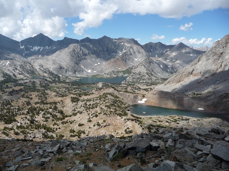
Landforms and Processes
Landforms, which are the visible marks on the earth's surface, result from various geological processes like erosion, deposition, and tectonic activity. Examples include mountains, valleys, plains, coastlines, and river systems. Understanding landform evolution helps us predict future changes and manage resources sustainably.
Climate and Weather
Another crucial component of physical geography is weather and climate, which shape the planet's habitability. Climate refers to the average conditions over long periods, whereas weather reflects short-term variations. Studying climatic zones, precipitation patterns, temperature gradients, and wind circulation helps scientists forecast future trends and impacts.
Soils and Vegetation
Soil is the thin layer of rock and organic matter that supports plant growth, animals, and humans. Its properties influence agricultural productivity, erosion resistance, and pollution retention. Vegetation is another element influenced by physical factors—from desert shrubs to tropical rainforests, each type adapted to local environmental conditions.
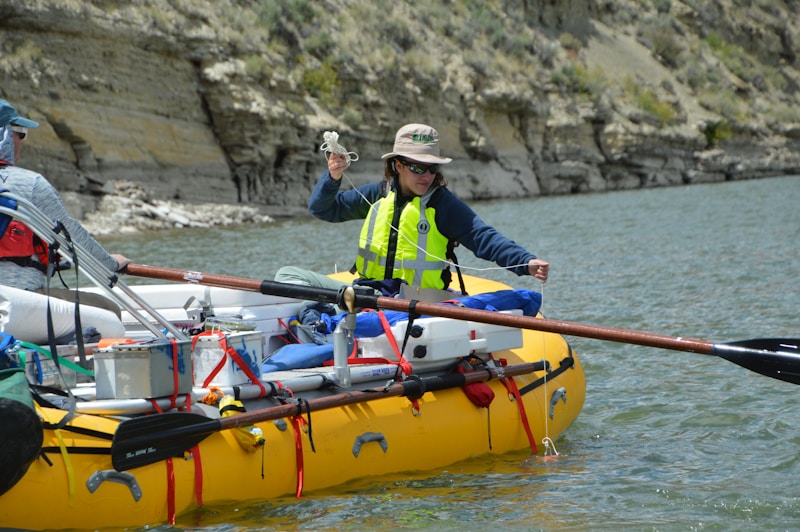
Water and Ice
Water plays a pivotal role in the physical landscape, shaping rivers, lakes, oceans, and glaciers. Examining the hydrological cycle, evaporation rates, and water storage capacities aids in flood control measures and water resource management. Ice formations like glaciers and ice caps are also studied for their effects on sea levels and coastal erosion.
Natural Hazards and Disasters
Natural hazards like earthquakes, volcanic eruptions, wildfires, landslides, and hurricanes are part of the physical environment. Understanding their causes, patterns, and potential impacts helps in mitigating risks to human populations and ecosystems.
GIS Technologies
Geographic Information Systems (GIS) technology is integral to physical geography as it allows for spatial analysis, data visualization, and mapping. It aids researchers in analyzing relationships between environmental features and processes, assisting with resource management, conservation efforts, and urban planning.
Career Opportunities and Skills
Academic Research Assistants work in various disciplines, including physical geography, and require a combination of skills like quantitative and qualitative methods, physical geography, human geography, field methods, geospatial technologies, and regional geography. They often assist faculty, conduct research, and write sections of research papers for peer review.
Physical geography is essential for understanding our planet and its systems, informing environmental policies, managing natural resources, and preparing for the challenges of climate change. It involves a mix of fieldwork, laboratory analysis, and computational modeling, and fosters interdisciplinary collaboration with other geography subfields and environmental sciences.
Studying That Suits You
Use AI to generate personalized quizzes and flashcards to suit your learning preferences.
Description
Test your knowledge on key concepts in physical geography like landforms, climate, soils, water systems, natural hazards, and GIS technologies. Explore the intricate interactions between Earth's physical features and the environment.