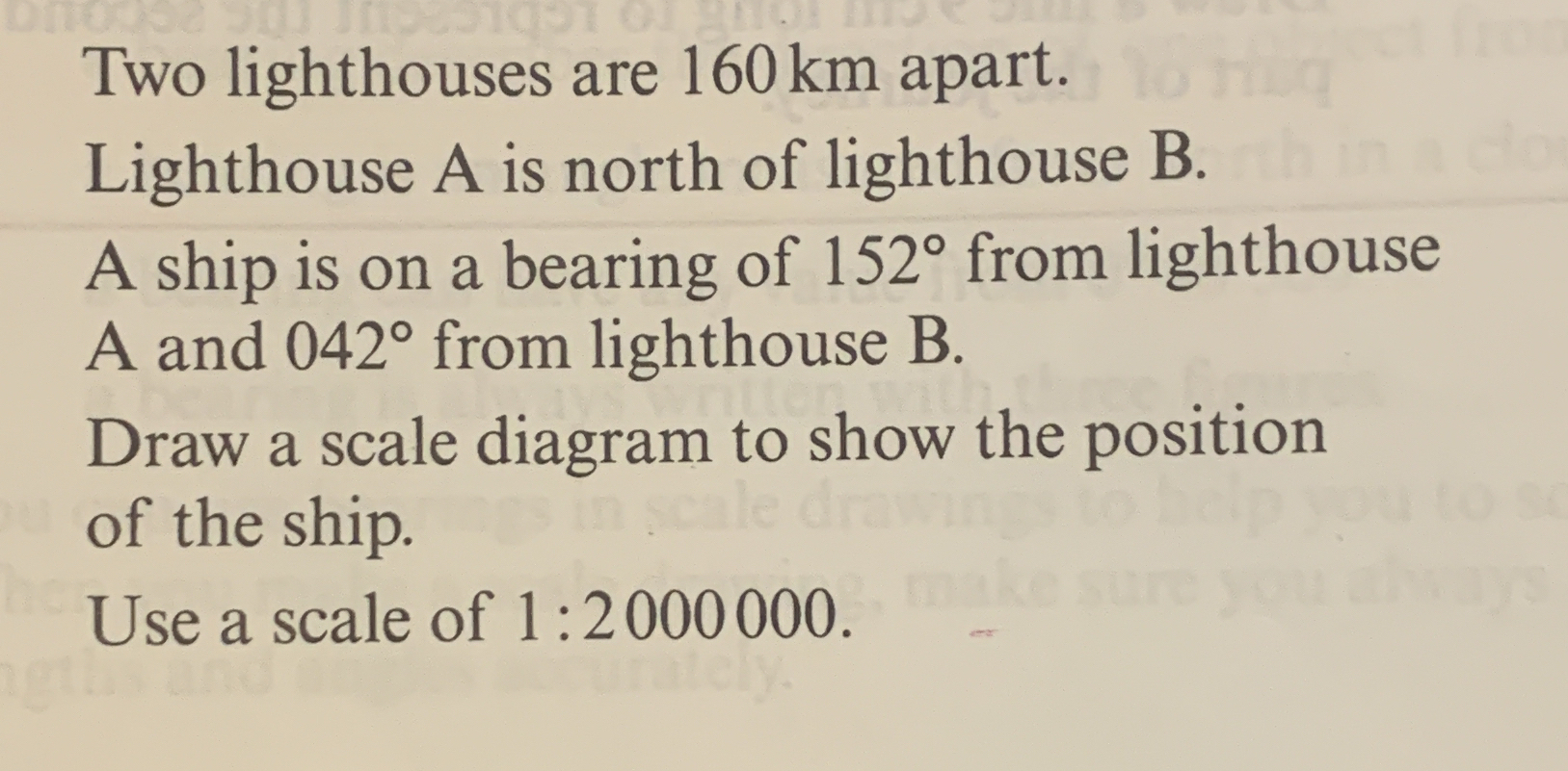
Two lighthouses are 160km apart. Lighthouse A is north of lighthouse B. A ship is on a bearing of 152° from lighthouse A and 042° from lighthouse B. Draw a scale diagram to show th... Two lighthouses are 160km apart. Lighthouse A is north of lighthouse B. A ship is on a bearing of 152° from lighthouse A and 042° from lighthouse B. Draw a scale diagram to show the position of the ship. Use a scale of 1:2000000.

Understand the Problem
The question asks for a scale diagram to be drawn, illustrating the position of a ship relative to two lighthouses which are a certain distance apart. The bearings from each lighthouse to the ship are provided, and the scale for the diagram is specified.
Answer
The ship's position is determined by the intersection of lines drawn from the lighthouses at angles of 152° and 042°.
Answer for screen readers
The position of the ship can be represented on a scale diagram showing the intersection of the bearings from each lighthouse.
Steps to Solve
-
Identify the Locations of the Lighthouses
Let's denote the locations of the two lighthouses.
- Lighthouse A (north of B)
- Lighthouse B
The distance between them is given as 160 km.
-
Convert to Scale Distance
Since we are using a scale of 1:2,000,000, we need to convert the distance of 160 km into the scale used for the diagram.
$$ \text{Scaled distance} = \frac{\text{Actual distance}}{\text{Scale}} = \frac{160 \text{ km}}{2,000,000} = 0.00008 \text{ km} = 0.08 \text{ m} $$
-
Plot the Lighthouses on the Diagram
- Place Lighthouse B at the origin (0,0).
- Since Lighthouse A is north of B, place Lighthouse A at coordinates (0, 0.08).
-
Draw the Bearings
Bearings are measured clockwise from north. For the ship:
- From Lighthouse A at a bearing of 152°, the angle from the north is measured as:
- 152° from north = 38° from south (downward angle)
- From Lighthouse B at a bearing of 042°, the angle from the north is measured as:
- 42° from north
You can draw the lines from each lighthouse according to these angles.
- From Lighthouse A at a bearing of 152°, the angle from the north is measured as:
-
Find the Intersection Point
The intersection point of the two lines drawn represents the ship's position.
-
Final Diagram
Mark the intersection point as the position of the ship on your diagram.
The position of the ship can be represented on a scale diagram showing the intersection of the bearings from each lighthouse.
More Information
This scale diagram technique is useful for visualizing and solving location problems in navigation and geography. Bearings indicate direction, and precise angle measurements are crucial.
Tips
- Failing to convert the actual distances to the diagram scale can lead to incorrect placements of the points.
- Misunderstanding the direction of bearings, particularly confusing clockwise measurements can also result in inaccurate diagrams.
AI-generated content may contain errors. Please verify critical information