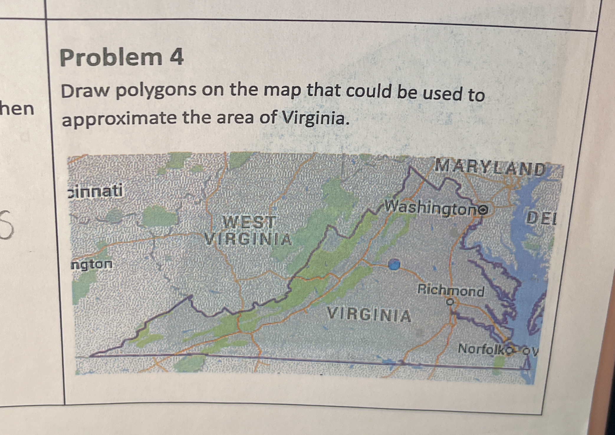
Draw polygons on the map that could be used to approximate the area of Virginia.

Understand the Problem
The question is asking to draw polygons on a map to approximate the area of Virginia. This requires understanding the geographical boundaries of Virginia and how to represent them using polygon shapes.
Answer
Approximate Virginia with simple polygons like rectangles and triangles.
To approximate Virginia's area on a map, draw polygons like rectangles, triangles, and trapezoids to cover the state's shape.
Answer for screen readers
To approximate Virginia's area on a map, draw polygons like rectangles, triangles, and trapezoids to cover the state's shape.
More Information
Using simple shapes helps in breaking down complex boundaries into measurable sections for easier area calculation.
Tips
A common mistake is using too many complex shapes, which complicates the area calculation process.
Sources
- Lesson 6: Estimating Areas - Online Math Learning - onlinemathlearning.com
- a. Draw polygons on the map that could be used to approximate the - Chegg - chegg.com
AI-generated content may contain errors. Please verify critical information