Understand the Problem
The question is likely asking about the depiction or details related to the map of India shown in the image.
Answer
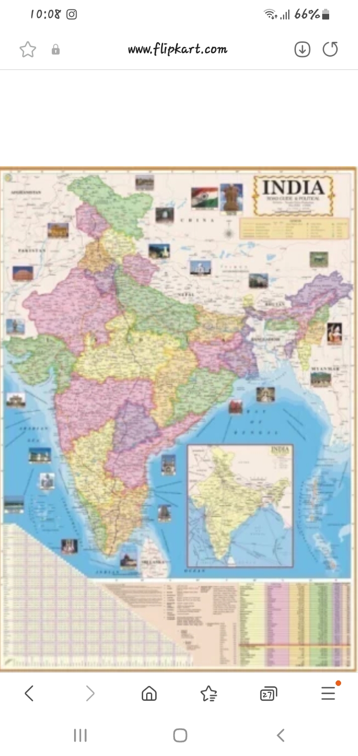
A political map of India.
This is a political map of India, showing its states and union territories.
Answer for screen readers
This is a political map of India, showing its states and union territories.
More Information
Political maps display governmental boundaries of countries, states, and significant cities. This map includes major geographical areas within India.
AI-generated content may contain errors. Please verify critical information