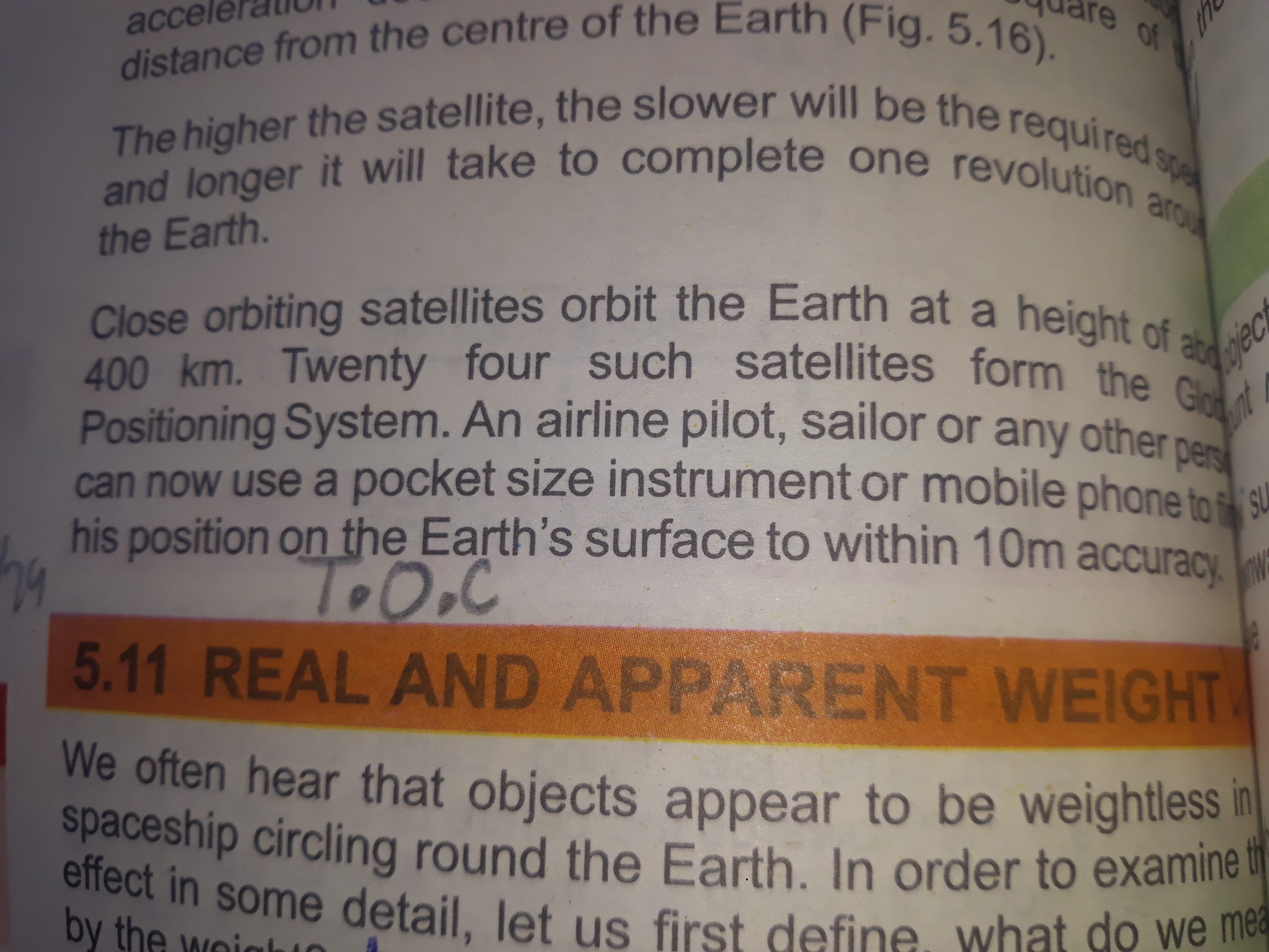
What is the approximate height of close orbiting satellites around the Earth, and how does it relate to GPS and positioning accuracy?

Understand the Problem
The question involves understanding the concept of satellites orbiting the Earth and the positioning system they form. It discusses the height of satellites and their relation to speed and accuracy in positioning.
Answer
About 20,200 km (12,550 miles) for GPS; 400 km for LEO satellites.
GPS satellites orbit the Earth at a height of approximately 20,200 km (12,550 miles). Close orbiting satellites refer to those in Low Earth Orbit (LEO) around 400 km, which affects positioning accuracy. GPS relies on higher orbits for wide coverage and precision.
Answer for screen readers
GPS satellites orbit the Earth at a height of approximately 20,200 km (12,550 miles). Close orbiting satellites refer to those in Low Earth Orbit (LEO) around 400 km, which affects positioning accuracy. GPS relies on higher orbits for wide coverage and precision.
More Information
The positioning accuracy of GPS is enhanced by using multiple satellites in medium Earth orbit, which provides better coverage globally, as opposed to lower Earth orbits.
Tips
Confusing LEO with MEO can lead to misunderstandings; remember that GPS satellites use medium Earth orbit.
Sources
- Space Segment - GPS.gov - gps.gov
- Global Positioning System - ScienceDirect Topics - sciencedirect.com
- How Satellite Orbit Heights Impact Satellite Communication - groundcontrol.com
AI-generated content may contain errors. Please verify critical information