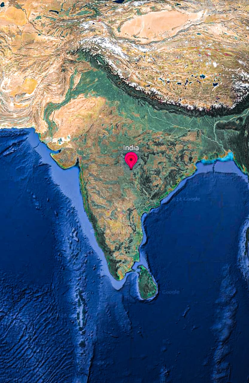
What geographical information can you provide about India based on the satellite image?

Understand the Problem
The question is asking for information about the location and geographical context of India as shown in the image.
Answer
India's geography: Himalayas, Indo-Gangetic plain, Thar Desert, peninsular shape, surrounded by oceans.
The satellite image of India shows diverse geographical features, including the Himalayan mountain range in the north, fertile plains like the Indo-Gangetic plain, the Thar Desert in the west, and various river systems. The country is peninsular in shape and surrounded by oceans on three sides.
Answer for screen readers
The satellite image of India shows diverse geographical features, including the Himalayan mountain range in the north, fertile plains like the Indo-Gangetic plain, the Thar Desert in the west, and various river systems. The country is peninsular in shape and surrounded by oceans on three sides.
More Information
India's geographical diversity includes major mountain ranges, river systems, fertile plains, and a significant desert region, all contributing to its rich biodiversity.
Tips
A common mistake is overlooking the influence of the Himalayan range on India's climate and river systems.
Sources
AI-generated content may contain errors. Please verify critical information