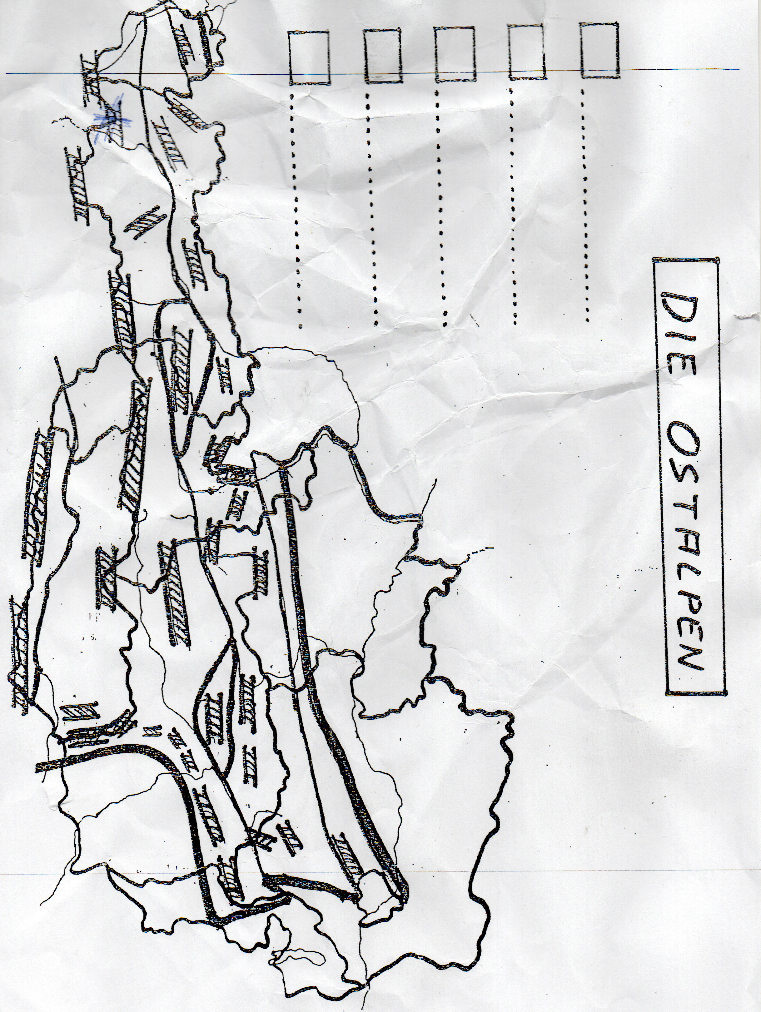
What does the map labeled 'DIE OSTALPEN' represent?

Understand the Problem
The question seems to ask for information related to the map titled 'DIE OSTALPEN,' possibly requiring identification or analysis of its features or the region it represents.
Answer
Eastern Alps region.
The map labeled 'DIE OSTALPEN' represents the Eastern Alps region, which includes parts of Austria and neighboring countries.
Answer for screen readers
The map labeled 'DIE OSTALPEN' represents the Eastern Alps region, which includes parts of Austria and neighboring countries.
More Information
The Eastern Alps are a significant geographic area in Europe, spanning multiple countries and known for their distinct alpine landscape.
Tips
Map reading mistakes often arise from not recognizing the specific geography or misinterpreting symbols.
Sources
- Physical map of the Eastern Alps. Red line: boundary of territory... - researchgate.net
AI-generated content may contain errors. Please verify critical information