Understand the Problem
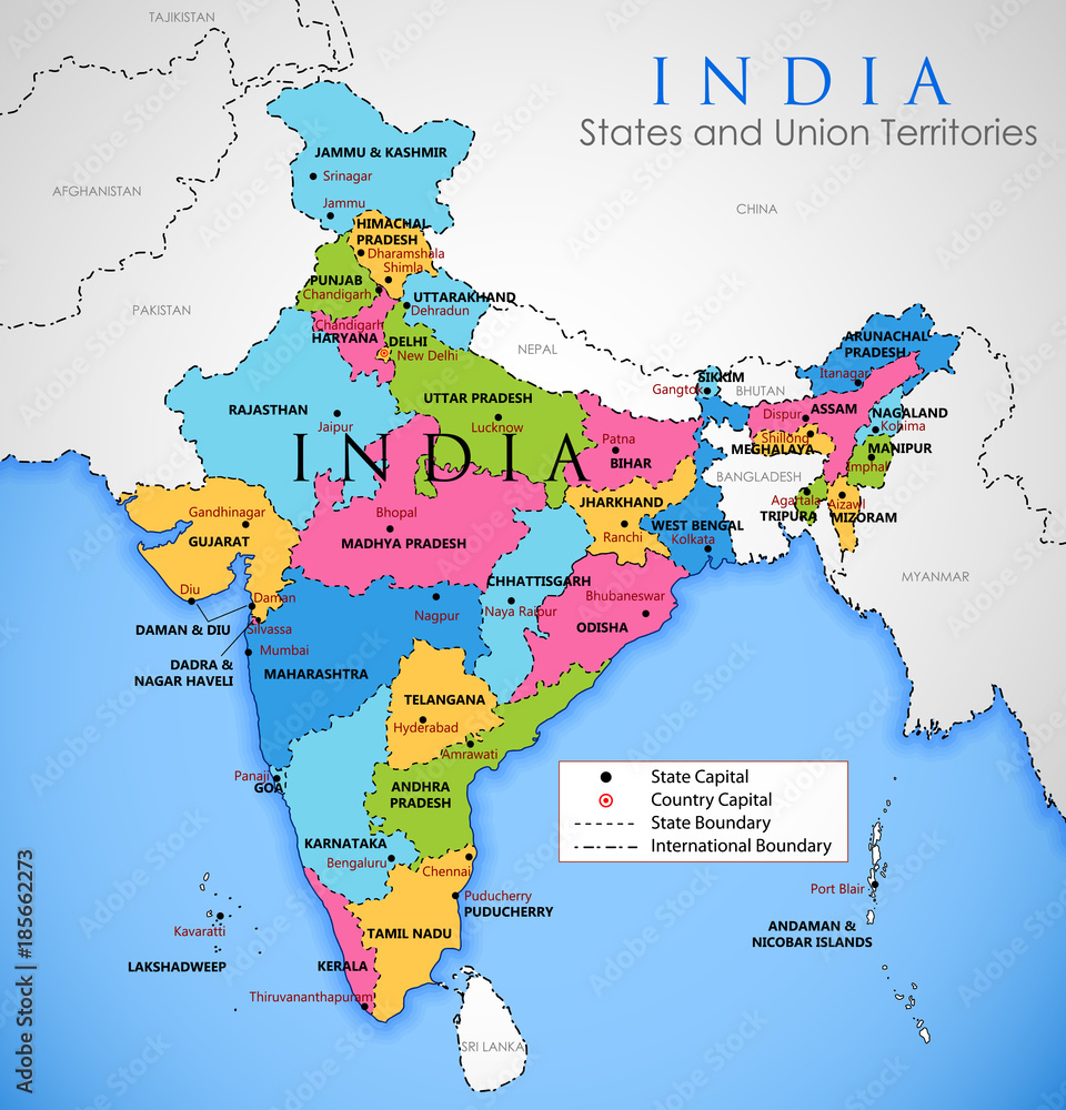
The question is related to the geographical and political divisions of India, specifically its states and union territories. The user might be looking for information or specifics regarding the map presented, which outlines the states, their capitals, and boundaries.
Answer
Map of India with states and capitals.
This is a map of India showing its states and union territories with their capitals.
Answer for screen readers
This is a map of India showing its states and union territories with their capitals.
More Information
India is divided into 28 states and 8 union territories, each with its own administrative capital. New Delhi is the country's capital.
AI-generated content may contain errors. Please verify critical information