Understand the Problem
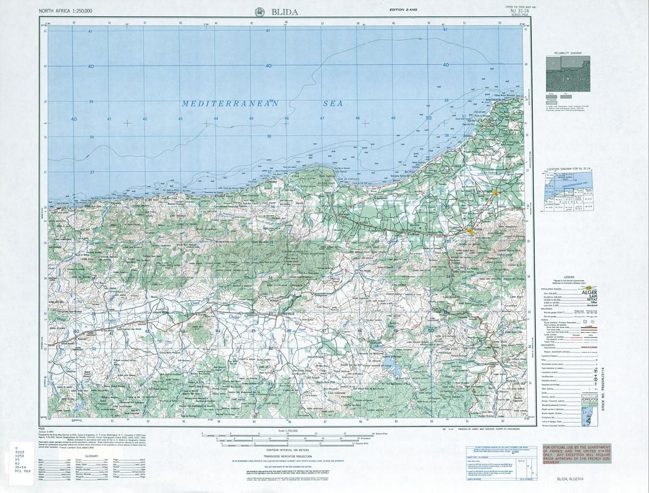
The image is a map of Blida, Algeria, detailing various geographical and topographical features of the area, including roads, elevation, and landmarks.
Answer
Map of Blida, Algeria.
The map shows the Blida region in Algeria, located near the Mediterranean Sea.
Answer for screen readers
The map shows the Blida region in Algeria, located near the Mediterranean Sea.
More Information
Blida is a city in northern Algeria. It is situated along the slopes of the Atlas Mountains and is notable for its history and agriculture.
AI-generated content may contain errors. Please verify critical information