Podcast Beta
Questions and Answers
Which of the following methods can be used to measure sea surface temperature (SST)?
SST is typically cooler in equatorial regions than in polar areas.
False
Name one significant impact of rising sea surface temperatures.
Increased frequency of extreme weather events
SST influences weather patterns such as _____ and _____ events.
Signup and view all the answers
Match the following SST sources with their corresponding organization:
Signup and view all the answers
Study Notes
SST (Sea Surface Temperature)
-
Definition:
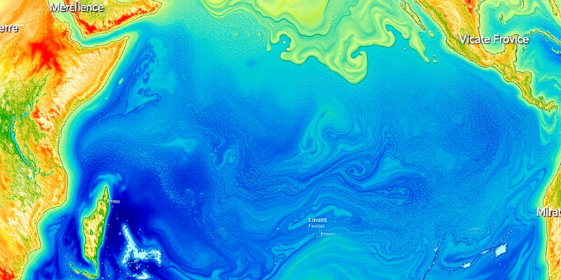
- SST refers to the temperature of the top layer of the ocean, typically measured at a depth of about 1 millimeter to 1 meter.
-
Measurement:
- SST can be measured using:
- Buoys
- Ships
- Satellites
- Coastal weather stations
- SST can be measured using:
-
Importance:
- Influences weather and climate patterns, including:
- El Niño and La Niña events
- Tropical cyclone formation
- Ocean circulation patterns
- Affects marine ecosystems and biodiversity.
- Critical for navigation and fishing industries.
- Influences weather and climate patterns, including:
-
Variability:
- SST varies due to:
- Seasonal changes
- Ocean currents
- Geographic location
- Atmospheric conditions
- SST varies due to:
-
Global Patterns:
- Typically warmer in equatorial regions and cooler in polar areas.
- Reflects climatic conditions (e.g., warm pools, cold tongues).
-
Climate Change Impact:
- Rising SST is a significant indicator of global warming.
- Contributes to:
- Increased frequency of extreme weather events.
- Coral bleaching.
- Disruption of marine life and fisheries.
-
Data Sources:
- NOAA (National Oceanic and Atmospheric Administration)
- NASA
- Various oceanographic research organizations.
-
Applications:
- Weather forecasting
- Climate modeling
- Environmental monitoring
- Research in oceanography and meteorology.
SST (Sea Surface Temperature)
- SST represents the temperature of the ocean's upper layer, generally measured from 1 millimeter to 1 meter deep.
Measurement Methods
- SST is measured using various instruments and platforms, including buoys, ships, satellites, and coastal weather stations.
Importance of SST
- SST significantly influences global weather and climate patterns, playing a crucial role in phenomena such as El Niño and La Niña.
- It is vital for the formation of tropical cyclones and affects ocean circulation dynamics.
- The health of marine ecosystems and biodiversity is directly impacted by variations in SST, making it crucial for the fishing and navigation industries.
Variability Factors
- Changes in SST are influenced by seasonal fluctuations, ocean current dynamics, geographic locations, and atmospheric conditions.
Global Temperature Patterns
- SST tends to be warmer near the equator and cooler toward the polar regions, reflecting broader climatic conditions like warm pools and cold tongues.
Climate Change Implications
- Rising SST serves as a critical indicator of global warming, linked to an increase in extreme weather events, coral bleaching, and disruptions in marine life and fisheries.
Data Collection Sources
- Key organizations collecting SST data include the National Oceanic and Atmospheric Administration (NOAA), NASA, and various oceanographic research institutions.
Applications of SST Data
- SST data is essential for advancing weather forecasting, climate modeling, environmental monitoring, and conducting research in oceanography and meteorology.
Studying That Suits You
Use AI to generate personalized quizzes and flashcards to suit your learning preferences.
Description
This quiz covers the essential aspects of Sea Surface Temperature (SST), including its definition, measurement methods, and importance to climate and marine ecosystems. Explore how SST influences weather patterns, ocean circulation, and its role in global warming. Test your knowledge on the variability and global patterns of SST.


