Podcast
Questions and Answers
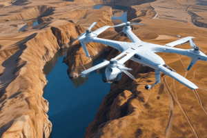
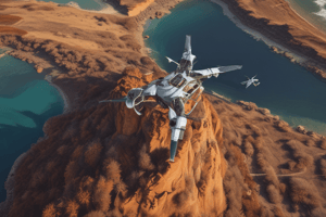
Drones are used to get pictures of objects above the ground.
Drones are used to get pictures of objects above the ground.
True (A)
A magnetometer is used to measure the magnetic field underground.
A magnetometer is used to measure the magnetic field underground.
True (A)
Archaeologists use the ground penetrating radar to find objects above the ground.
Archaeologists use the ground penetrating radar to find objects above the ground.
False (B)
GPS is connected to satellites to help you find places you want to visit.
GPS is connected to satellites to help you find places you want to visit.
A magnetometer is used to discover metals underground.
A magnetometer is used to discover metals underground.
The Ground Penetrating Radar device is used to find objects under the surface of the earth.
The Ground Penetrating Radar device is used to find objects under the surface of the earth.
Magnetometer is used to discover metals underground.
Magnetometer is used to discover metals underground.
GPS is used to find the location of places you might need to visit.
GPS is used to find the location of places you might need to visit.
Magnetometer is used to determine places via satellites.
Magnetometer is used to determine places via satellites.
Flashcards are hidden until you start studying


