Podcast
Questions and Answers
Quel type de carte montre la structure et l'âge des formations terrestres?
Quel type de carte montre la structure et l'âge des formations terrestres?
- Carte météorologique
- Carte géologique (correct)
- Carte de densité de population
- Carte topographique
Qu'est-ce qu'une carte orohydrographique représente principalement?
Qu'est-ce qu'une carte orohydrographique représente principalement?
- Les pressions atmosphériques
- Les courants d'eau et les reliefs (correct)
- La distribution de la population dans une région
- Les limites administratives
Quelle indication sur une carte explique les symboles et les couleurs utilisés?
Quelle indication sur une carte explique les symboles et les couleurs utilisés?
- Légende (correct)
- Titre
- Sources
- Échelle
Comment une carte topographique indique-t-elle les zones bâties et les infrastructures?
Comment une carte topographique indique-t-elle les zones bâties et les infrastructures?
Quel est l'échelle d'une carte large de 1:20 000?
Quel est l'échelle d'une carte large de 1:20 000?
Flashcards
Geological Map
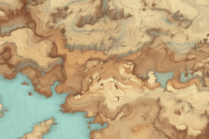
Geological Map
A map showing the age, structure, and location of land formations.
Oro-hydrographic Map
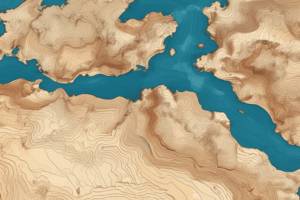
Oro-hydrographic Map
A map showing relief (mountains, plains, etc.) and water features (rivers, lakes).
Population Density Map
Population Density Map
A map illustrating population distribution in an area.
Map Scale (1:20,000)
Map Scale (1:20,000)
Signup and view all the flashcards
Map Legend
Map Legend
Signup and view all the flashcards