Podcast
Questions and Answers
What do contour intervals on a topographic map represent?
What do contour intervals on a topographic map represent?
- Areas of equal elevation (correct)
- Areas of different elevations
- Landscapes with varying local relief
- Slopes with different gradients
What is the formula to find local relief?
What is the formula to find local relief?
- Highest point / lowest point
- Highest point - lowest point (correct)
- Highest point + lowest point
- Highest point × lowest point
What is the formula to find the gradient of a slope?
What is the formula to find the gradient of a slope?
- Rise + Run
- Rise × Run
- Run / Rise
- Rise / Run (correct)
What is the aspect of a slope?
What is the aspect of a slope?
What is the purpose of contour lines on a topographic map?
What is the purpose of contour lines on a topographic map?
What is the local relief between two points?
What is the local relief between two points?
What do topographic maps allow geographers to identify?
What do topographic maps allow geographers to identify?
What do contour intervals on a topographic map show?
What do contour intervals on a topographic map show?
What is the local relief between two points on a topographic map?
What is the local relief between two points on a topographic map?
How is the gradient of a slope calculated?
How is the gradient of a slope calculated?
What is the aspect of a slope?
What is the aspect of a slope?
What is the purpose of analyzing a topographic map?
What is the purpose of analyzing a topographic map?
Flashcards are hidden until you start studying
Study Notes
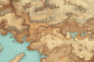
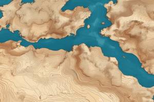
Topographic Maps
- Allow geographers to identify landscape, gradient of a slope, relief, and aspect and height above sea level using contour lines
Contour Lines
- Represent areas of equal elevation on a map
- Steepness of slopes is also represented
- Contour interval represents the difference in elevation between two adjacent contour lines
- Example: 20ft contour interval on a specific map
Local Relief
- Difference in elevation between the highest and lowest points in a region
- Calculated using the equation: Highest point - Lowest point
- Example: Local relief between points Z and X is 80ft
Gradient
- Calculated using the equation: Rise (vertical interval) / Run (horizontal distance)
- Example: Gradient between R and S is 1:25 (simplified) or 80/2000 (unsimplified)
Aspect
- Direction a slope faces
- Examples:
- Point A: Southeast
- Point B: South
- Point C: Northwest
- Point D: West
- Mount Florence (AR8746): Southeast
Map Analysis
- Contour interval: 50 metres
- Local relief between points B and H: 100ft
- Gradient of A and B: 45/100
Studying That Suits You
Use AI to generate personalized quizzes and flashcards to suit your learning preferences.