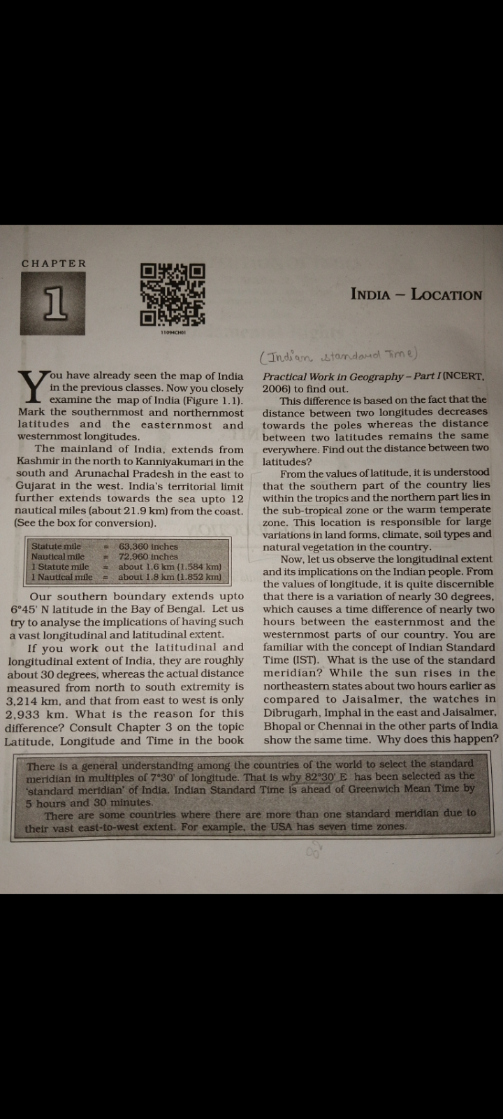
What is the reason for the difference in the travel times across India and the use of the standard meridian?

Understand the Problem
The question is asking about the implications of the longitudinal and latitudinal extent of India, specifically looking into the reasons for differences in travel times across the country and the use of the standard meridian in timekeeping.
Answer
India uses one time zone (IST) despite its vast longitudinal span to ensure uniformity.
The difference in travel times across India is due to its vast longitudinal extent of nearly 30 degrees, but only one time zone (IST) based on the standard meridian at 82°30'E is used. This avoids confusion and ensures uniformity despite geographical differences.
Answer for screen readers
The difference in travel times across India is due to its vast longitudinal extent of nearly 30 degrees, but only one time zone (IST) based on the standard meridian at 82°30'E is used. This avoids confusion and ensures uniformity despite geographical differences.
More Information
India covers nearly 30 degrees of longitude, causing a potential time difference of about two hours from east to west. By using one standard time, based on 82°30'E, India simplifies time management and administration.
Tips
A common mistake is not considering the political and practical reasons for a single time zone, focusing only on geographical logic.
Sources
- Powerful Standard Meridian of India 82.5° - cheggindia.com
- India has the same time on the different points or states. Why? - Quora - quora.com
AI-generated content may contain errors. Please verify critical information