What does the world map depict regarding different regions?
Understand the Problem
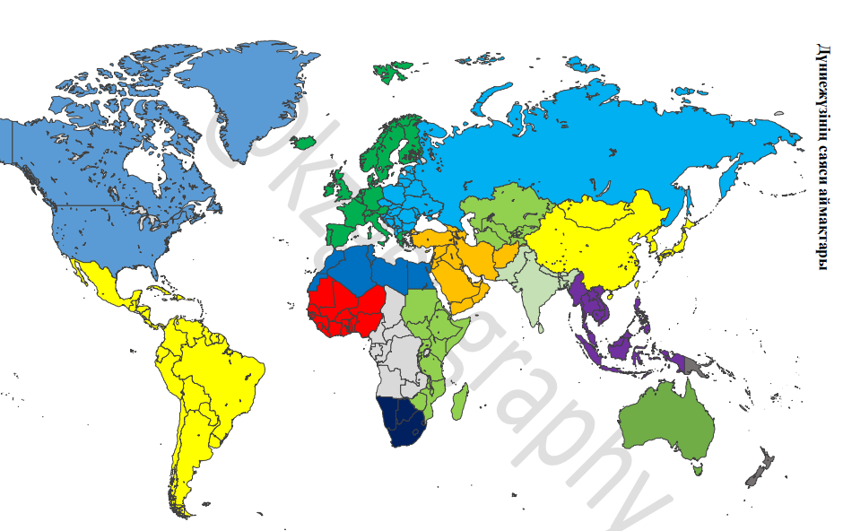
The question is about interpreting or analyzing information presented in a world map, potentially focusing on geographic data or regional characteristics.
Answer
Regional distinctions based on political or other characteristics.
The map likely depicts political regions or regions distinguished by certain characteristics, as different regions are colored distinctly.
Answer for screen readers
The map likely depicts political regions or regions distinguished by certain characteristics, as different regions are colored distinctly.
More Information
World maps can represent various distinctions like political boundaries, climatic zones, or cultural regions. The colors indicate different groups or classifications.
Tips
Be cautious not to assume normal map conventions; colors may represent various criteria.
Sources
- World map - Wikipedia - en.wikipedia.org
- World Regions Map | Outline & History - Study.com - study.com
AI-generated content may contain errors. Please verify critical information