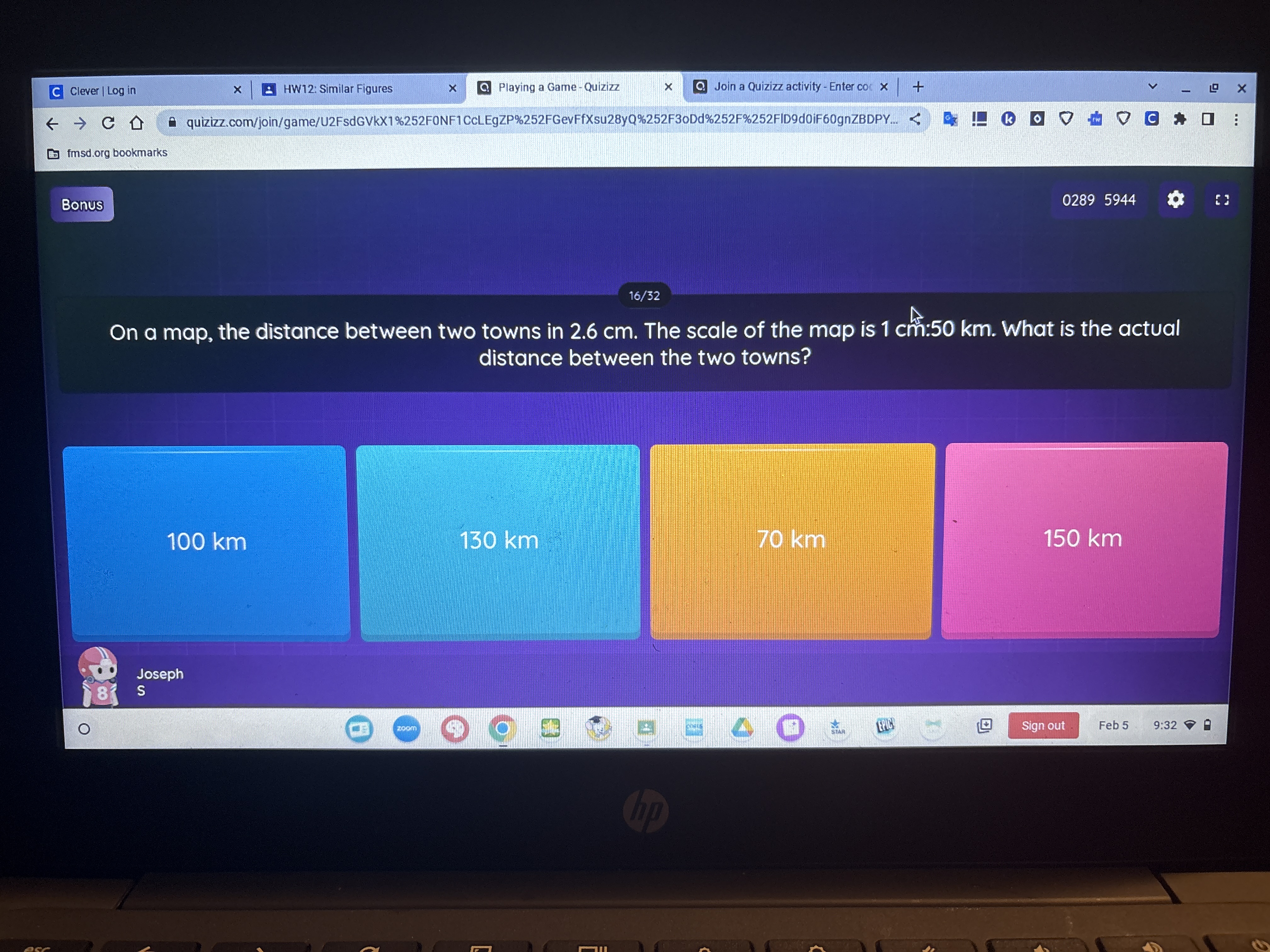
On a map, the distance between two towns is 2.6 cm. The scale of the map is 1 cm: 50 km. What is the actual distance between the two towns?
Understand the Problem
The question is asking for the actual distance between two towns based on a scaled map distance of 2.6 cm, where 1 cm on the map corresponds to 50 km in reality. We will calculate the actual distance using this scale.
Answer
The actual distance between the two towns is \( 130 \, \text{km} \).
Answer for screen readers
The actual distance between the two towns is ( 130 , \text{km} ).
Steps to Solve
-
Identify the scale of the map The scale provided states that 1 cm on the map corresponds to 50 km in reality.
-
Determine the actual distance We need to multiply the distance measured on the map (2.6 cm) by the scale factor (50 km per cm): $$ \text{Actual Distance} = 2.6 , \text{cm} \times 50 , \text{km/cm} $$
-
Calculate the product Now, we can perform the multiplication: $$ \text{Actual Distance} = 2.6 \times 50 = 130 , \text{km} $$
The actual distance between the two towns is ( 130 , \text{km} ).
More Information
The problem illustrates how to convert map distances into real-world distances by utilizing scale factors. This method is widely used in geography, cartography, and navigation.
Tips
- Confusing the units of measurement (e.g., mixing cm with km).
- Failing to multiply the map distance by the correct scale.
AI-generated content may contain errors. Please verify critical information