Podcast
Questions and Answers
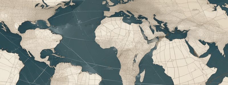
What is the point of reference for measuring latitude and longitude?
What is the point of reference for measuring latitude and longitude?
- The prime meridian
- The equator
- The poles
- The centre of the Earth (correct)
What is the direction designated for an angular position above the equator?
What is the direction designated for an angular position above the equator?
- West
- East
- North (correct)
- South
How is the degree further divided for more accurate pinpointing?
How is the degree further divided for more accurate pinpointing?
- Into hundredths
- Into tenths
- Into quarters
- Into minutes and seconds (correct)
What is the longitude of a point located 180 degrees to the west of the prime meridian?
What is the longitude of a point located 180 degrees to the west of the prime meridian?
What are the latitude and longitude of the point where the prime meridian and the equator cross each other?
What are the latitude and longitude of the point where the prime meridian and the equator cross each other?
What is the latitude of Brisbane?
What is the latitude of Brisbane?
What is the primary method used in air navigation by observing landmarks?
What is the primary method used in air navigation by observing landmarks?
What is the main disadvantage of the pilotage method of navigation?
What is the main disadvantage of the pilotage method of navigation?
What is the basis of navigation that was developed after the invention of the compass?
What is the basis of navigation that was developed after the invention of the compass?
What is the problem associated with dead reckoning if wind velocity and direction are unknown or incorrectly recorded?
What is the problem associated with dead reckoning if wind velocity and direction are unknown or incorrectly recorded?
What is the term for the method of navigation that determines an aircraft's position by recording times, distances, directions, and speeds?
What is the term for the method of navigation that determines an aircraft's position by recording times, distances, directions, and speeds?
Why is dead reckoning not a very accurate method of navigation?
Why is dead reckoning not a very accurate method of navigation?
What is the primary issue with dead reckoning navigation?
What is the primary issue with dead reckoning navigation?
What is the purpose of obtaining fixes from known references in dead reckoning navigation?
What is the purpose of obtaining fixes from known references in dead reckoning navigation?
What is the key difference between an Inertial Navigation System (INS) and a dependent navigation system?
What is the key difference between an Inertial Navigation System (INS) and a dependent navigation system?
What is the device used to measure acceleration in an Inertial Navigation System?
What is the device used to measure acceleration in an Inertial Navigation System?
What is the underlying principle of Newton's First Law of Motion as it relates to an Inertial Navigation System?
What is the underlying principle of Newton's First Law of Motion as it relates to an Inertial Navigation System?
What is the primary function of an Inertial Navigation System (INS)?
What is the primary function of an Inertial Navigation System (INS)?
What is the position of an aircraft relative to the runway when on a glide path at the MM?
What is the position of an aircraft relative to the runway when on a glide path at the MM?
What is the purpose of the marker beacons in an ILS installation?
What is the purpose of the marker beacons in an ILS installation?
What is the IM in the context of a category II approach?
What is the IM in the context of a category II approach?
What component of the ILS airborne equipment displays localiser and glideslope deviation?
What component of the ILS airborne equipment displays localiser and glideslope deviation?
What is the typical configuration of the localiser and glideslope receivers in the airborne equipment?
What is the typical configuration of the localiser and glideslope receivers in the airborne equipment?
What is the primary function of the glideslope transmitter in an ILS installation?
What is the primary function of the glideslope transmitter in an ILS installation?
What is the primary function of the Enhanced Ground Proximity Warning System (EGPWS)?
What is the primary function of the Enhanced Ground Proximity Warning System (EGPWS)?
How does the Ground Proximity Warning System generate warnings?
How does the Ground Proximity Warning System generate warnings?
What is the purpose of Area Navigation?
What is the purpose of Area Navigation?
How does an aircraft navigate using VOR/DME navigation?
How does an aircraft navigate using VOR/DME navigation?
What is displayed on the monitor in the cockpit of an aircraft equipped with an EGPWS?
What is displayed on the monitor in the cockpit of an aircraft equipped with an EGPWS?
What is the advantage of the Enhanced Ground Proximity Warning System (EGPWS) over the traditional Ground Proximity Warning System?
What is the advantage of the Enhanced Ground Proximity Warning System (EGPWS) over the traditional Ground Proximity Warning System?
Flashcards are hidden until you start studying