Podcast
Play an AI-generated podcast conversation about this lesson
Download our mobile app to listen on the go
Get App
Questions and Answers
What is the geographic grid?
What is the geographic grid?
- A system of lines that form a pattern on a map (correct)
- A tool used to measure distances between locations
- A method for determining longitude and latitude
- A device used to navigate on land
What is the purpose of the geographic grid?
What is the purpose of the geographic grid?
- To determine the elevation of a location
- To create a visual representation of Earth's physical features
- To measure the size of continents
- To accurately locate any point on Earth (correct)
What does the geographic grid consist of?
What does the geographic grid consist of?
- Roads and transportation networks
- Contours and topographic features
- Political boundaries and borders
- Lines of latitude and longitude (correct)
Flashcards are hidden until you start studying
Study Notes
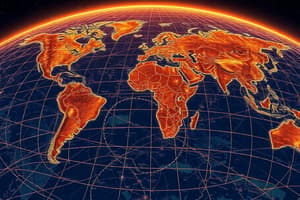
Geographic Grid
- The geographic grid is a system of lines and coordinates used to locate and identify points on the Earth's surface.
- The purpose of the geographic grid is to provide a standardized way of identifying and communicating locations, making it easier to navigate, map, and study the Earth.
Components of the Geographic Grid
- The geographic grid consists of two main components: latitude and longitude.
- Latitude lines, also known as parallels, run east-west and measure distances north and south of the equator.
- Longitude lines, also known as meridians, run north-south and measure distances east and west of the prime meridian.
- The intersection of latitude and longitude lines creates a unique set of coordinates (latitude and longitude) that can be used to identify any point on the Earth's surface.
Studying That Suits You
Use AI to generate personalized quizzes and flashcards to suit your learning preferences.