Podcast
Questions and Answers
What is a map projection?
What is a map projection?
- A method for measuring distance on a globe
- A method for mapping spatial patterns on a curved surface to a flat surface (correct)
- A type of globe
- A three-dimensional model of the earth
What is the best model of the earth?
What is the best model of the earth?
a globe
What are some drawbacks of using a globe?
What are some drawbacks of using a globe?
- Not easy to carry (correct)
- Not good for making planimetric measurements (correct)
- Scaleable
- Good for measurement
Maps are difficult to carry.
Maps are difficult to carry.
The earth is a _____
The earth is a _____
What are the three developable surfaces mentioned?
What are the three developable surfaces mentioned?
Flashcards are hidden until you start studying
Study Notes
Projections
- The Earth is modeled as a spheroid, with a globe being the best representation.
- Globes have drawbacks: not portable, and unsuitable for planimetric measurement (distance, area, angle).
- Maps, by contrast, are flat, making them portable, measurable, and scalable.
Map Projections
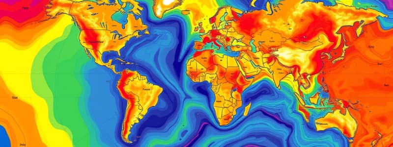
- A map projection translates spatial patterns from the Earth's curved surface to a flat surface.
- This involves projecting an imaginary light onto a "developable surface," creating a flat representation of geographic data.
- Several projection models exist, adapting to different uses and areas.
Developable Surfaces
- Cone:
- Can be a secant cone (intersects the sphere) or a tangent cone (touches the sphere at one point).
- Plane:
- Represents a flat surface for projection.
- Cylinder:
- Involves tangent cylinders, where the cylinder touches the Earth at a single line, leading to distortions in area and shape.
Coordinate Systems and Datums
- While specific details on coordinate systems and datums were not provided, they are essential components for determining the geographic position on a map.
- Coordinate systems give the framework for identifying locations, while datums serve as reference points for measuring positions on the Earth’s surface.
Studying That Suits You
Use AI to generate personalized quizzes and flashcards to suit your learning preferences.


