Podcast
Questions and Answers
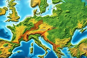
What does a political map show?
What does a political map show?
- The location of cities and towns
- The boundaries and divisions of countries or regions (correct)
- The physical features of a region
- The climate and weather patterns
What is the main purpose of a political map?
What is the main purpose of a political map?
- To display the population density of an area
- To depict the boundaries and divisions of countries or regions (correct)
- To show the physical features of a region
- To highlight the natural resources of a country
Which information can be found on a political map?
Which information can be found on a political map?
- The ethnic diversity of a population
- The transportation networks of a country
- The elevation and topography of a region
- The political boundaries and capitals of countries (correct)
Flashcards are hidden until you start studying
Study Notes
Political Maps
- A political map is a type of map that displays the boundaries of political entities, such as countries, states, and territories.
- The main purpose of a political map is to show the geographic boundaries and divisions of different political entities.
Information on a Political Map
- A political map typically displays the following information: • Country borders and boundaries • State and province boundaries • Capitals and major cities • International boundaries and border crossings • Territorial claims and disputed areas • Geographical features, such as rivers, lakes, and mountains, that affect political boundaries.
Studying That Suits You
Use AI to generate personalized quizzes and flashcards to suit your learning preferences.


