Podcast
Questions and Answers
What is compromised in map projections that preserve both shape and area?
What is compromised in map projections that preserve both shape and area?
- Direction
- Shape and area simultaneously (correct)
- Location
- Scale
What type of map projections distort the shapes of mapped features?
What type of map projections distort the shapes of mapped features?
- Conic maps
- Cylindrical maps
- Equal-area maps (correct)
- Planar maps
What is the purpose of interrupted projections?
What is the purpose of interrupted projections?
- To reduce distortion of landmasses (correct)
- To display only the oceanic regions
- To increase distortion of landmasses
- To display both shape and area accurately
What type of remote sensing system records natural reflections or emissions of energy from a surface?
What type of remote sensing system records natural reflections or emissions of energy from a surface?
What is the definition of remote sensing?
What is the definition of remote sensing?
What is an example of an active system in remote sensing?
What is an example of an active system in remote sensing?
What is a major advantage of maps?
What is a major advantage of maps?
What is a limitation of maps?
What is a limitation of maps?
What is a characteristic of a conformal map?
What is a characteristic of a conformal map?
What type of map is best suited for comparing the sizes of two or more areas?
What type of map is best suited for comparing the sizes of two or more areas?
What is a geometric property of the geographic grid?
What is a geometric property of the geographic grid?
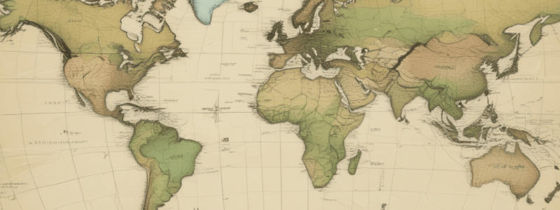
What is a common problem with flat maps?
What is a common problem with flat maps?
Flashcards are hidden until you start studying