Podcast
Questions and Answers
What is the difference between a large-scale map and a small-scale map?
What is the difference between a large-scale map and a small-scale map?
A large-scale map shows a small area in great detail, while a small-scale map shows a large area with less detail.
Who would typically use a small-scale map?
Who would typically use a small-scale map?
A small-scale map is often used by people needing an overview of larger regions, like travelers or planners.
What is the primary purpose of a map key?
What is the primary purpose of a map key?
The map key explains the meanings of the symbols used on the map.
What color do map-makers typically use to represent water on maps?
What color do map-makers typically use to represent water on maps?
Why is a globe considered a small-scale map?
Why is a globe considered a small-scale map?
What is an example of a symbol that might be found on a map?
What is an example of a symbol that might be found on a map?
What type of map would be more suitable for someone hiking in a forest?
What type of map would be more suitable for someone hiking in a forest?
Flashcards are hidden until you start studying
Study Notes
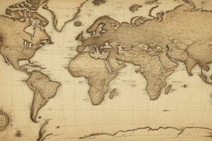
Map Scales
- Maps represent larger geographical areas on a smaller scale for practical use.
- Maps are drawn to scale, meaning they maintain proportionality between distances on the map and real-world distances.
- Large-scale maps display a small area with high detail, ideal for walkers and hikers.
- Example: A large-scale map may show a 10-meter area represented as 1 centimeter on paper.
- Small-scale maps cover larger areas with less detail, suitable for regions like countries or cities.
- Example: A small-scale map might show a 50-kilometer distance represented as 1 centimeter.
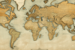
Globes and Atlas Maps
- Globes and atlas maps are examples of small-scale maps, encompassing vast areas with minimal detail.
- They are not ideal for navigating specific regions due to reduced detail.
Map Symbols
- Maps utilize symbols to represent various features within the mapped area.
- Symbols may include small pictures or initial letters indicating different landmarks (e.g., 'H' for heliport, 'P' for car park).
- Most maps feature a key to explain the meaning of various symbols used.
- Map color usage lacks strict rules but adheres to common conventions (e.g., water is usually blue, forests are green).
Studying That Suits You
Use AI to generate personalized quizzes and flashcards to suit your learning preferences.