Podcast
Play an AI-generated podcast conversation about this lesson
Download our mobile app to listen on the go
Get App
Questions and Answers
Which type of map is primarily used to show boundaries and political features?
Which type of map is primarily used to show boundaries and political features?
- Thematic map
- Road map
- Physical map
- Political map (correct)
Thematic maps are designed primarily to convey specific data themes or patterns to the viewer.
Thematic maps are designed primarily to convey specific data themes or patterns to the viewer.
True (A)
What term describes a map that uses various symbols to represent different quantities or values?
What term describes a map that uses various symbols to represent different quantities or values?
Graduated proportional symbol map
A map that displays the distribution of a particular phenomenon, like diseases, is called a ______ map.
A map that displays the distribution of a particular phenomenon, like diseases, is called a ______ map.
Signup and view all the answers
Match each type of map with its correct description:
Match each type of map with its correct description:
Signup and view all the answers
Flashcards are hidden until you start studying
Study Notes
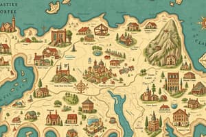
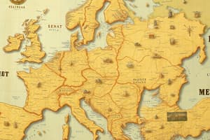
Types of Maps
- Reference maps provide geographical features and boundaries, serving as a visual guide.
- Political maps illustrate governmental boundaries, such as countries, states, and cities.
- Physical maps depict natural features like mountains, rivers, and lakes, highlighting elevation and landforms.
- Road maps are designed for navigation, showing highways, roads, and points of interest.
- Thematic maps focus on specific themes or data, such as population density or climate patterns.
Special Map Types
- Choropleth maps use varying shades or colors to represent statistical data across regions.
- Dot-density maps visualize the distribution of a phenomenon by using dots for quantities, allowing for easy identification of clusters.
- Graduated proportional symbol maps represent data with symbols that vary in size according to the values they represent.
- Cartograms distort geographic size to emphasize the magnitude of a theme or data point.
- Isoline maps connect points of equal value, showcasing gradients like temperature or elevation.
Spatial Concepts
- Absolute location refers to a precise point determined by coordinates (latitude and longitude).
- Relative location describes a place's position in relation to other locations.
- Absolute distance measures the exact physical distance between two points.
- Relative distance assesses how far apart things are in terms of time or cost, often less precise than absolute distance.
- Absolute direction indicates cardinal points like north, south, east, and west.
- Relative direction refers to directions that are culturally understood, like uphill or downstream.
Spatial Patterns and Relationships
- Clustering describes a phenomenon where data points are concentrated in a specific area.
- Dispersal or distribution refers to how features or data are spread over a space.
- Patterns and spatial associations analyze relationships and arrangements in a space.
Map Projections and Distortions
- Map projections transform three-dimensional Earth onto a two-dimensional surface, causing distortions in shape, area, distance, or direction.
- Understanding advantages of maps includes their ability to simplify complex data and provide visual insights.
- Disadvantages include potential misrepresentations or oversimplifications of reality.
Geographic Data Collection
- Geographic data collection methods include fieldwork and field observations to gather firsthand information.
- Examples of fieldwork: conducting surveys, interviews, and environmental studies.
- Examples of field observations: noting weather patterns or vegetation types in specific areas.
US Census and Geospatial Technologies
- The US Census provides critical demographic data that informs policy and resource allocation.
- Geospatial technologies include Geographic Information Systems (GIS), Global Positioning Systems (GPS), and remote sensing, aiding in spatial analysis and mapping.
Spatial Perspectives and Sense of Place
- Spatial perspectives examine how geographic context influences social, economic, and political processes.
- Sense of place encapsulates people's emotional attachment to specific locations.
- Cultural landscape refers to the interaction between humans and their environment, shaping and being shaped by cultural practices.
- Placelessness describes areas that lack distinctiveness or identity due to globalization.
Environmental Factors
- Location factors include climate, water sources, topography, soil, and vegetation influencing human activities.
- Tropical latitudes, near the equator, experience consistent sunlight and warm temperatures.
- High latitudes receive less sunlight and typically have colder climates.
- Altitude affects temperature; higher elevations have colder climates, while lower elevations are warmer.
Spatial Interactions
- Distance decay describes the diminished interaction between two places as the distance between them increases.
- Diffusion is the process through which ideas, goods, or phenomena spread across locations.
- Expansion diffusion involves spreading from a core area outward, often leading to widespread adoption.
- Relocation diffusion occurs when individuals move and carry their cultural traits or ideas to new locations.
Studying That Suits You
Use AI to generate personalized quizzes and flashcards to suit your learning preferences.