Podcast
Questions and Answers
Which of the following is the MOST significant way spatial information enhances hazard prediction?
Which of the following is the MOST significant way spatial information enhances hazard prediction?
- By focusing on real-time data without historical context.
- By illustrating past events exclusively.
- By showing the impact of past and present events and predicting possible future events. (correct)
- By predicting only people's activities.
What distinguishes spatial technology from other data collection methods?
What distinguishes spatial technology from other data collection methods?
- It disregards geographic locations.
- It focuses exclusively on statistical analysis.
- It integrates collection, management, and analysis of spatial information. (correct)
- It solely relies on manual data entry.
Spatial technology offers several advantages. Which of the following BEST describes how these advantages aid in environmental management?
Spatial technology offers several advantages. Which of the following BEST describes how these advantages aid in environmental management?
- By simplifying complex spatial relationships for better understanding and communication.
- By recording large amounts of environmental and demographic information.
- By analyzing spatial patterns to understand causes and improve planning.
- All of the above. (correct)
How does 'remote sensing' aid in tracking and managing bushfires?
How does 'remote sensing' aid in tracking and managing bushfires?
How do Global Navigation Satellite Systems (GNSS) or Global Positioning Systems (GPS) enhance our ability to respond to natural disasters like cyclones?
How do Global Navigation Satellite Systems (GNSS) or Global Positioning Systems (GPS) enhance our ability to respond to natural disasters like cyclones?
In what primary way do Global Information Systems (GIS) assist in emergency management and urban planning?
In what primary way do Global Information Systems (GIS) assist in emergency management and urban planning?
How do satellite photographs primarily contribute to hazard management?
How do satellite photographs primarily contribute to hazard management?
How do hazard maps, generated using spatial technology, primarily aid communities?
How do hazard maps, generated using spatial technology, primarily aid communities?
How can spatial technology be used for long-term recovery and reconstruction efforts following a natural disaster?
How can spatial technology be used for long-term recovery and reconstruction efforts following a natural disaster?
What role does spatial technology play in predicting extreme weather events such as floods?
What role does spatial technology play in predicting extreme weather events such as floods?
Which of the following scenarios BEST demonstrates the use of spatial technology in ecological hazard management?
Which of the following scenarios BEST demonstrates the use of spatial technology in ecological hazard management?
How can the integration of spatial technology and hazard management enhance community resilience?
How can the integration of spatial technology and hazard management enhance community resilience?
Why is the ability to graphically illustrate spatial data important in hazard management and prediction?
Why is the ability to graphically illustrate spatial data important in hazard management and prediction?
What is a key advantage of using digital maps in spatial technology for communicating information and findings?
What is a key advantage of using digital maps in spatial technology for communicating information and findings?
Which of the following BEST describes how spatial technologies aid in assessing the environmental impact of a large-scale industrial project?
Which of the following BEST describes how spatial technologies aid in assessing the environmental impact of a large-scale industrial project?
Which statement accurately describes how Global Positioning Systems (GPS) or Global Navigation Satellite Systems (GNSS) contribute to the assessment of damage after an earthquake?
Which statement accurately describes how Global Positioning Systems (GPS) or Global Navigation Satellite Systems (GNSS) contribute to the assessment of damage after an earthquake?
How can spatial technology assist in mitigating the impact of landslides in mountainous regions?
How can spatial technology assist in mitigating the impact of landslides in mountainous regions?
How does spatial technology contribute to managing the spread of invasive species in a natural habitat?
How does spatial technology contribute to managing the spread of invasive species in a natural habitat?
What role do infrared scanners play in managing and tracking bushfires?
What role do infrared scanners play in managing and tracking bushfires?
What advantages does spatial technology offer in understanding and addressing the environmental risks associated with climate change?
What advantages does spatial technology offer in understanding and addressing the environmental risks associated with climate change?
Flashcards
Spatial Information and Technology
Spatial Information and Technology
The use of technology to measure and represent the world through data management and analysis. Illustrates events, predicts impacts and shows location data.
Spatial Technology
Spatial Technology
Any technology that is used for the collection, management, and analysis of spatial information.
Advantages of Spatial Technology
Advantages of Spatial Technology
Recording, investigating patterns, and communicating findings.
Remote Sensing
Remote Sensing
Signup and view all the flashcards
Global Navigation Satellite System (GNSS)
Global Navigation Satellite System (GNSS)
Signup and view all the flashcards
Global Information Systems (GIS)
Global Information Systems (GIS)
Signup and view all the flashcards
Capabilities of Mapping Systems
Capabilities of Mapping Systems
Signup and view all the flashcards
Role in Hazard Management
Role in Hazard Management
Signup and view all the flashcards
Uses of Satellite Photographs
Uses of Satellite Photographs
Signup and view all the flashcards
Study Notes
- Spatial technologies play a role in studying natural and ecological hazards
- Spatial information measures and represents the world through data management and analysis
- It illustrates events' impacts, predicts future events and can be graphically illustrated using location, people, and activities data
Spatial Technology
- Any tech enables the collection, management, and analysis of spatial information
- Key advantages include recording and storing information like environmental and demographic data
- Aids in identifying and investigating spatial patterns to improve planning and development
- Presents information clearly through digital maps to understand relationships
Types of Spatial Technology
Remote Sensing
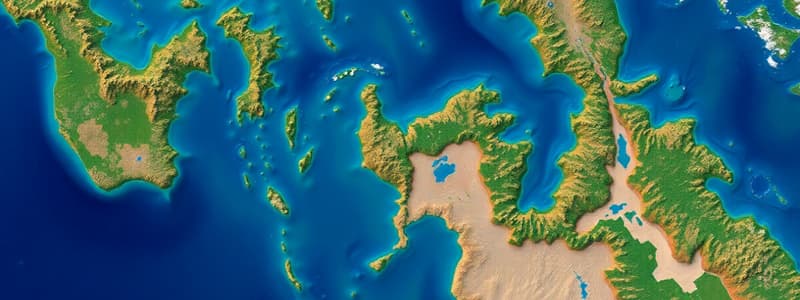
- Collects data about Earth without physical contact through aerial photos, satellite images, and drones
- Provides information on daily weather, land use, vegetation, and fuel levels to track local bushfires and is useful for hazard management and monitoring oceans/atmosphere
Global Navigation Satellite System (GNSS) or Global Positioning Systems (GPS)
- GPS uses satellites to give location information
- Used to pinpoint exact location on smart devices and map/monitor natural hazards like cyclones
Global Information Systems (GIS)
- Computer mapping software collects, stores, and analyzes Earth-linked data like Google Earth
- Data is layered to understand patterns, relationships, and geographic context
- GIS is useful for weather forecasting, town planning, and emergency monitoring
Spatial Technology and Hazards
- Plays a vital role in hazard management
- Satellite photos show damage extent, identify needs, estimate mortality, and give information on floods and temperatures to predict extreme weather
Mapping Systems
- Provide communities info on access to essential services
- Help with long-term recovery and reconstruction
- Hazard maps help predict, manage, and monitor hazards and tools examine past events
Studying That Suits You
Use AI to generate personalized quizzes and flashcards to suit your learning preferences.