Podcast
Play an AI-generated podcast conversation about this lesson
Download our mobile app to listen on the go
Get App
Questions and Answers
What is the primary purpose of shadowing in radar imagery?
What is the primary purpose of shadowing in radar imagery?
- To enhance the brightness of slopes
- To reduce the incident angle
- To interpret terrain relief (correct)
- To eliminate foreshortening effects
What occurs when a steep slope is orthogonal to the radar beam?
What occurs when a steep slope is orthogonal to the radar beam?
- Increased incident angle
- Minimum foreshortening
- Maximum foreshortening (correct)
- Severe shadowing
What happens to foreshortening effects as incident angles increase?
What happens to foreshortening effects as incident angles increase?
- They remain the same
- They are reduced (correct)
- They are eliminated
- They increase
What trade-off must be considered when selecting an incident angle?
What trade-off must be considered when selecting an incident angle?
Signup and view all the answers
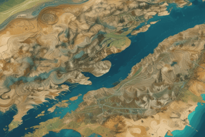
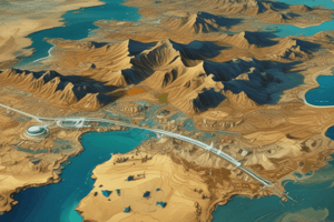
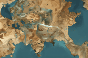
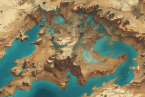
What type of radar image is shown in the example from the Canada Centre for Remote Sensing?
What type of radar image is shown in the example from the Canada Centre for Remote Sensing?
Signup and view all the answers
Flashcards are hidden until you start studying