Podcast
Questions and Answers
Which of the following is NOT a basic feature of all maps?
Which of the following is NOT a basic feature of all maps?
- Legend
- Title
- Scale
- Contour Lines (correct)
A small scale map shows a larger area with less detail.
A small scale map shows a larger area with less detail.
True (A)
What are the three types of grid systems used in mapping?
What are the three types of grid systems used in mapping?
Alphanumeric Grid, Latitude Longitude Grid, Military Grid
The ______ is the line of 0° longitude.
The ______ is the line of 0° longitude.
Which time zone in Canada is most commonly used to represent Eastern Canada?
Which time zone in Canada is most commonly used to represent Eastern Canada?
Match the following map types with their characteristics:
Match the following map types with their characteristics:
The 16 main compass points include both cardinal and ordinal directions.
The 16 main compass points include both cardinal and ordinal directions.
Why do we have time zones?
Why do we have time zones?
Which of the following accurately defines a topographic map?
Which of the following accurately defines a topographic map?
What does the term 'Representative Fraction' refer to in mapping?
What does the term 'Representative Fraction' refer to in mapping?
Which compass point is accurately represented as 45 degrees?
Which compass point is accurately represented as 45 degrees?
What is the purpose of the equator in geographic terms?
What is the purpose of the equator in geographic terms?
Which description accurately defines military grid maps?
Which description accurately defines military grid maps?
What is one reason why time zones are roughly 15° wide?
What is one reason why time zones are roughly 15° wide?
Which line marks the beginning of the time zones at 0° longitude?
Which line marks the beginning of the time zones at 0° longitude?
In geospatial terms, what is meant by the concept of 'geo-referencing'?
In geospatial terms, what is meant by the concept of 'geo-referencing'?
Flashcards
Map attributes
Map attributes
The three key characteristics that describe a map: title, legend, and scale.
Map scale types
Map scale types
Different ways to represent map scale: direct statement, representative fraction, and line scale.
Map features
Map features
Representations of real-world objects on a map: points, lines, and areas.
Map Types
Map Types
Signup and view all the flashcards
Grid Systems
Grid Systems
Signup and view all the flashcards
Time Zones
Time Zones
Signup and view all the flashcards
Bearing calculation
Bearing calculation
Signup and view all the flashcards
Time Zone Differences
Time Zone Differences
Signup and view all the flashcards
Latitude & Longitude
Latitude & Longitude
Signup and view all the flashcards
Time Zones & GMT
Time Zones & GMT
Signup and view all the flashcards
Time Zones & Distance
Time Zones & Distance
Signup and view all the flashcards
Compass Points
Compass Points
Signup and view all the flashcards
Geo-referencing
Geo-referencing
Signup and view all the flashcards
Study Notes
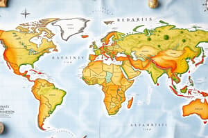
Maps and Map Elements
- Maps have three key attributes that define them
- Six basic features of all maps exist
- Distinguishing between small, medium, and large scale maps using methods like Representative Fraction and Line Scale.
- Differentiating between point, line, and area features/symbols on maps
- Use a legend to understand map features on thematic maps
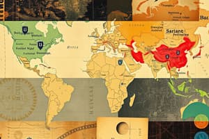
Map Types and Grid Systems
- Differentiate between General Purpose, Thematic, and Topographic maps and their grid systems
- Identify and describe the three types of grid systems: Alphanumeric Grid, Latitude Longitude Grid, and Military Grid
- Understand the Golden Rule, Eastings/Northings and the difference between 4 & 6 digit reference numbers for M&G maps.
- Knowledge of the five major lines of latitude, two major lines of longitude, and four hemispheres. Determining polar, temperate, and tropical zones.
- Understanding of Alpha-Numeric grids, latitude/longitude coordinates, and baselines
- Examples of latitude (Equator), longitude (Prime Meridian), and elevation (Sea Level)
- GMT for Time Zones
Geo-referencing
- Calculating 16 compass points and bearings on a compass rose
- Identifying Cardinal, Ordinal, and Tertiary points on a compass rose
- Calculating complex bearings on a compass rose
- Geo-referencing locations using relative positions on a map
Time Zones
- Identifying and locating the 5+1 time zones of Canada and GMT on maps
- Comparing Standard Time (ST) and Universal Time (UTC or GMT)
- Explanations for the purpose of time zones, the general width of 15 degrees, inconsistencies in the real world and adjustments.
- Calculating times in Canada and between Canada, GMT, and the world
- Calculating departure/arrival scenarios in Canada's time zones and from/to Canada to GMT using a World Time Zone map.
Studying That Suits You
Use AI to generate personalized quizzes and flashcards to suit your learning preferences.