Podcast
Play an AI-generated podcast conversation about this lesson
Download our mobile app to listen on the go
Get App
Questions and Answers
What is Geography?
What is Geography?
Geography is the study of the Earth's landscapes, people, places, and environments.
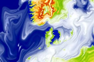
What is the significance of remote sensing images interpretation in Geography?
What is the significance of remote sensing images interpretation in Geography?
Remote sensing images interpretation helps geographers analyze the Earth's surface from a distance.
Which empire was the Abbasid Caliphate associated with?
Which empire was the Abbasid Caliphate associated with?
The Abbasid Caliphate was associated with the Islamic Empire.
What is cartography?
What is cartography?
Signup and view all the answers
What was the House of Wisdom known for?
What was the House of Wisdom known for?
Signup and view all the answers
How does Geography study the atmosphere?
How does Geography study the atmosphere?
Signup and view all the answers
What role does Geography play in understanding the Earth's ecosystems?
What role does Geography play in understanding the Earth's ecosystems?
Signup and view all the answers
Flashcards are hidden until you start studying