Podcast
Questions and Answers
What is the primary purpose of a thematic map?
What is the primary purpose of a thematic map?
- To show political boundaries and geographical features
- To emphasize a specific theme or topic (correct)
- To depict travel distances between locations
- To accurately represent land area sizes
Which type of map primarily distorts land areas to represent a value change?
Which type of map primarily distorts land areas to represent a value change?
- Dot distribution
- Choropleth
- Cartogram (correct)
- Isoline
How does a graduated symbol map convey information?
How does a graduated symbol map convey information?
- By counting individual dots in a specific area
- By using varying colors to indicate value changes
- By representing value through the size of symbols (correct)
- By connecting areas with lines of equal value
What differentiates absolute distance from relative distance?
What differentiates absolute distance from relative distance?
Which mapping technique uses lines to connect areas that share a particular value?
Which mapping technique uses lines to connect areas that share a particular value?
Which map projection is noted for being suitable for navigation due to its true direction and straight lines of longitude and latitude?
Which map projection is noted for being suitable for navigation due to its true direction and straight lines of longitude and latitude?
What is a major distortion of the Gall-Peters projection?
What is a major distortion of the Gall-Peters projection?
Which projection is considered to have the most globe-like characteristics despite its imprecisions?
Which projection is considered to have the most globe-like characteristics despite its imprecisions?
What scenario describes 'disposal' in geographical terms?
What scenario describes 'disposal' in geographical terms?
Which map projection distorts the poles and is less accurate in measurements?
Which map projection distorts the poles and is less accurate in measurements?
Flashcards
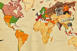
Thematic Map
Thematic Map
A map highlighting a specific theme or topic, showing the spatial distribution of data and revealing geographical patterns.
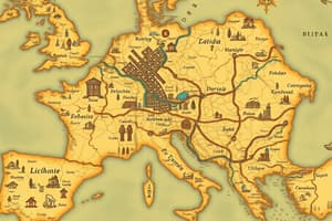
Reference Map
Reference Map
A map showing the location of things in space, using geographical and political data for reference.
Cartogram
Cartogram
A map that distorts land areas to represent the magnitude of a value.
Chloropleth Map
Chloropleth Map
Signup and view all the flashcards
Dot Distribution Map
Dot Distribution Map
Signup and view all the flashcards
Relative Direction
Relative Direction
Signup and view all the flashcards
Clustering
Clustering
Signup and view all the flashcards
Disposal
Disposal
Signup and view all the flashcards
Robinson Projection (Benefits)
Robinson Projection (Benefits)
Signup and view all the flashcards
Robinson Projection (Distortions)
Robinson Projection (Distortions)
Signup and view all the flashcards
Study Notes
Map Types
- Thematic Map: Emphasizes a specific theme or topic, showing spatial data distribution and patterns. Useful for finding correlations between data in different locations.
- Reference Map: Shows locations of geographical and political data. Used for finding places.
- Cartogram: Distorts land areas to represent variations in a value.
- Chloropleth Map: Uses different colors or shades to visually represent changes in a value across an area.
- Dot Distribution Map: Represents values using dots, with more dots indicating higher values.
- Graduated Symbol Map: Uses symbol sizes to represent values; larger symbols indicate higher values.
- Isoline Map: Uses lines to connect areas with the same value.
Distance and Direction
- Absolute Distance: Measurable distance using standard units (e.g., miles, kilometers).
- Absolute Direction: North, south, east, west.
- Relative Distance: Distance not measured in standard units, but rather in terms of time or perception.
- Relative Direction: Directions like "left," "right," "up," "down," or descriptions (e.g., "next to").
Spatial Patterns
- Clustering: Grouping of similar items or people close together.
- Dispersion: Spacing of items or people within geographic boundaries.
Map Projections
- Robinson Projection: Accurately shows size, shape, and distance of most regions, appearing globe-like. Less accurate at the poles.
- Mercator Projection: Shows true direction, good for navigation. Distorts area, especially at higher latitudes.
- Gall-Peters Projection: Shows approximately accurate area of continents. Distorts shape and ocean sizes.
- Polar Projections: Preserves direction and distances from the projection center. Distorts areas and shapes.
Studying That Suits You
Use AI to generate personalized quizzes and flashcards to suit your learning preferences.