Podcast
Questions and Answers
A map with a scale of 1:24,000 is considered what type of scale, and what does it typically represent?
A map with a scale of 1:24,000 is considered what type of scale, and what does it typically represent?
- Large scale, showing a small area with a high level of detail. (correct)
- Small scale, showing a large region with minimal detail.
- Global scale, displaying the entire planet on a single map.
- Medium scale, best for representing continents.
If a map's verbal scale states, '1 inch equals 25 miles,' and two cities are 4 inches apart on the map, what is the actual distance between the cities?
If a map's verbal scale states, '1 inch equals 25 miles,' and two cities are 4 inches apart on the map, what is the actual distance between the cities?
- 21 miles
- 6.25 miles
- 100 miles (correct)
- 50 miles
Which of the following map types would be most useful for determining the best hiking route based on elevation changes?
Which of the following map types would be most useful for determining the best hiking route based on elevation changes?
- Political map
- Thematic map
- Topographic map (correct)
- Physical map
A cartographer wants to display the population density of different countries. Which thematic map type would be most appropriate?
A cartographer wants to display the population density of different countries. Which thematic map type would be most appropriate?
Which type of thematic map is best suited to show the quantity of corn production in different states?
Which type of thematic map is best suited to show the quantity of corn production in different states?
Which map type would be most effective in illustrating the movement of goods between different trade partners?
Which map type would be most effective in illustrating the movement of goods between different trade partners?
What is the primary purpose of isolines on a thematic map?
What is the primary purpose of isolines on a thematic map?
Which of the following map scales would display a larger area on a single map?
Which of the following map scales would display a larger area on a single map?
A researcher wants to create a thematic map showing areas vulnerable to flooding. Which map elements are crucial for effective communication?
A researcher wants to create a thematic map showing areas vulnerable to flooding. Which map elements are crucial for effective communication?
What distinguishes an interactive thematic map from a static thematic map?
What distinguishes an interactive thematic map from a static thematic map?
Flashcards
Map Scale
Map Scale
Ratio of a distance on a map to the corresponding distance on the ground.
Large-Scale Map
Large-Scale Map
Shows a small area with a high level of detail.
Small-Scale Map
Small-Scale Map
Shows a large area with a low level of detail.
Physical Maps
Physical Maps
Signup and view all the flashcards
Political Maps
Political Maps
Signup and view all the flashcards
Topographic Maps
Topographic Maps
Signup and view all the flashcards
Thematic Maps
Thematic Maps
Signup and view all the flashcards
Choropleth Maps
Choropleth Maps
Signup and view all the flashcards
Dot Density Maps
Dot Density Maps
Signup and view all the flashcards
Proportional Symbol Maps
Proportional Symbol Maps
Signup and view all the flashcards
Study Notes
- Geography is the study of the Earth's physical features, atmosphere, and human activity.
- Maps are visual representations of geographic data.
- Scale is the ratio between the distance on a map and the corresponding distance on the ground.
- Distance is the measurement of the space between two points.
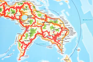
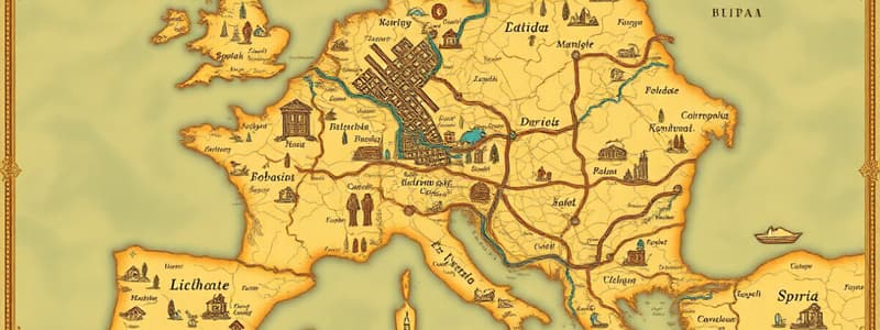
- Map types include physical maps, political maps, topographic maps, and thematic maps.
- Thematic maps focus on specific topics or themes.
Scale and Distance
- Scale is the ratio of a distance on the map to the corresponding distance on the ground.
- Scale is typically represented as a representative fraction (e.g., 1:100,000), a verbal scale (e.g., "1 inch equals 1 mile"), or a graphic scale (a bar line marked with distances).
- A large-scale map shows a small area with a high level of detail.
- A small-scale map shows a large area with a low level of detail.
- Distance on a map can be measured using a ruler or other measuring tool and then converted to actual ground distance using the map scale as a ratio.
- Different map projections distort distance in different ways, so it is important to be aware of the limitations.
Map Types
- The main map types include physical, political, topographic, and thematic maps.
- Physical maps show natural features such as mountains, rivers, and deserts.
- Political maps show boundaries, cities, and other human-made features.
- Topographic maps show elevation using contour lines.
- Thematic maps display spatial patterns of specific data or themes such as population density, climate, or economic activity.
Thematic Maps
- Thematic maps are designed to represent the spatial distribution of particular themes or concepts.
- Common types of thematic maps include choropleth maps, dot density maps, proportional symbol maps, isoline maps, and flow maps.
- Choropleth maps use different colors or shades to represent statistical data within predefined areas.
- Dot density maps use dots to represent the quantity of a feature within an area.
- Proportional symbol maps use symbols of different sizes to represent the magnitude of a variable at a given location.
- Isoline maps connect points of equal value, such as elevation (contour lines) or temperature (isotherms).
- Flow maps show the movement of objects between locations, such as goods, people, or information.
- Thematic maps are used in various fields such as urban planning, environmental science, public health, and market research.
- The effective design of thematic maps involves choosing appropriate symbols, colors, and classifications to accurately and clearly communicate the mapped information.
- Thematic maps can be static or interactive, with interactive maps allowing users to explore the data in more detail.
Studying That Suits You
Use AI to generate personalized quizzes and flashcards to suit your learning preferences.