Podcast
Questions and Answers
What does latitude measure?
What does latitude measure?
- Distance from the South Pole
- Distance from the North Pole
- Distance from the Prime Meridian
- Distance from the equator (correct)
What occurs at the international date line?
What occurs at the international date line?
- The time zones are standardized
- The seasons change
- The date changes as it's crossed (correct)
- The Earth's tilt is apparent
How long does it take for the Earth to revolve around the Sun?
How long does it take for the Earth to revolve around the Sun?
- 364 days
- 366 days
- 365 days
- 365.25 days (correct)
What is the significance of the summer solstice?
What is the significance of the summer solstice?
At what angle does the Earth tilt on its axis?
At what angle does the Earth tilt on its axis?
Which hemisphere is created by the equator?
Which hemisphere is created by the equator?
What does the word scale on a map represent?
What does the word scale on a map represent?
How long does it take for the Earth to rotate once around its axis?
How long does it take for the Earth to rotate once around its axis?
Flashcards are hidden until you start studying
Study Notes
Longitude and Latitude
- Longitude and latitude are measured in degrees, with 360 degrees comprising a complete circle.
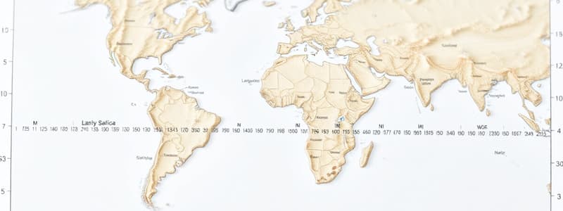
- Latitude lines run parallel to the equator, indicating how far north or south a location is; they never converge.
- Longitude lines extend from the North Pole to the South Pole, determining how far east or west a place is; they meet at the poles.
- Each degree of latitude and longitude is divided into 60 minutes for more precise measurements.
Hemispheres
- The equator divides the Earth into northern and southern hemispheres.
- The Greenwich Meridian creates the eastern and western hemispheres.
Earth's Rotation and Tilt
- The Earth rotates around its axis, completing a full rotation approximately every 24 hours, resulting in day and night.
- The axis is tilted at an angle of 23.5 degrees, influencing seasonal changes.
Map Scales
- Line Scale: A graphical representation indicating ground distance on a map.
- Word Scale: Describes a map scale verbally, e.g., "1 cm represents 50,000 cm in reality."
- Ratio Scale: Expresses the scale as a ratio, e.g., 1:250,000 means 1 cm on the map equals 250,000 cm in real life.
Time Zones
- The Earth rotates west to east at a rate of 15 degrees per hour, which affects timekeeping based on longitude.
- Local time is determined by the Sun's position, with all time zones referenced from Greenwich Mean Time (GMT).
- The International Date Line follows the 180-degree longitude line where the date changes by one day when crossed.
South African Standard Time (S.A.S.T.)
- Prior to 1982, South Africa utilized multiple local times, complicating transportation schedules.
- In 1983, the government established S.A.S.T. as GMT plus 2 hours.
Earth's Revolution and Seasons
- The Earth orbits the Sun in an elliptical path, taking approximately 365.25 days to complete one revolution, resulting in seasonal variations due to the axial tilt.
Solstices
- Solstices mark extreme points of sunlight due to Earth’s tilt.
- The summer solstice (longest day) occurs around June 21-22 in the southern hemisphere.
- The winter solstice (longest night) occurs around December 21-22 in the southern hemisphere.
Equinoxes
- Equinoxes occur when the Earth's axis is neither tilted towards nor away from the Sun, resulting in equal day and night.
- The Autumn Equinox in the southern hemisphere is around March 21-22.
- The Spring Equinox in the southern hemisphere is around September 21-22.
- Daylight is longer in summer, nights are longer in winter, while spring and autumn feature equivalent lengths of day and night.
Studying That Suits You
Use AI to generate personalized quizzes and flashcards to suit your learning preferences.


