Podcast
Questions and Answers
What does T/M stand for in nautical charts?
What does T/M stand for in nautical charts?
- Trail Marker
- Turnmark (correct)
- Tidal Measurement
- Transport Marker
Which term is specifically used to denote the navigational function part of ECDIS equipment?
Which term is specifically used to denote the navigational function part of ECDIS equipment?
- S/V
- PND (correct)
- NAVS
- DMA
What does AOR stand for in the context of maritime navigation?
What does AOR stand for in the context of maritime navigation?
- Area of Responsibility (correct)
- Altitude of Rescue
- Acceleration of Return
- Area of Risk
What safety parameter does DMA refer to when conducting shallow-water navigation?
What safety parameter does DMA refer to when conducting shallow-water navigation?
What is the purpose of a waypoint (Wpt) in navigation?
What is the purpose of a waypoint (Wpt) in navigation?
What does COG stand for in ECDIS terminology?
What does COG stand for in ECDIS terminology?
Which symbols on ECDIS represent navigational aids such as lighthouses and buoys?
Which symbols on ECDIS represent navigational aids such as lighthouses and buoys?
What is the primary purpose of cautionary symbols in ECDIS?
What is the primary purpose of cautionary symbols in ECDIS?
Which of the following is NOT an example of hydrographic symbols?
Which of the following is NOT an example of hydrographic symbols?
What does the abbreviation ETA stand for?
What does the abbreviation ETA stand for?
Which ECDIS symbol would indicate submerged hazards such as wrecks or rocks?
Which ECDIS symbol would indicate submerged hazards such as wrecks or rocks?
What is the function of the EBL in ECDIS?
What is the function of the EBL in ECDIS?
Which abbreviation designates a specific location or point of reference in navigation?
Which abbreviation designates a specific location or point of reference in navigation?
Flashcards
T/M (Turnmark)
T/M (Turnmark)
Refers to a specific navigational mark or landmark as displayed on nautical charts or Electronic Chart Display and Information Systems (ECDIS).
GC (Geographical Coordinate)
GC (Geographical Coordinate)
A system of precise location using latitude and longitude coordinates.
NAVS (Navigation Systems)
NAVS (Navigation Systems)
On the ECDIS, the function that enables navigation by displaying data and information.
PND (Position Navigational Display)
PND (Position Navigational Display)
Signup and view all the flashcards
AOR (Area of Responsibility)
AOR (Area of Responsibility)
Signup and view all the flashcards
Chart Symbols
Chart Symbols
Signup and view all the flashcards
Hydrographic Symbols
Hydrographic Symbols
Signup and view all the flashcards
Navigation Aids Symbols
Navigation Aids Symbols
Signup and view all the flashcards
Obstruction Symbols
Obstruction Symbols
Signup and view all the flashcards
Cautionary Symbols
Cautionary Symbols
Signup and view all the flashcards
SOG
SOG
Signup and view all the flashcards
COG
COG
Signup and view all the flashcards
ETA
ETA
Signup and view all the flashcards
Study Notes
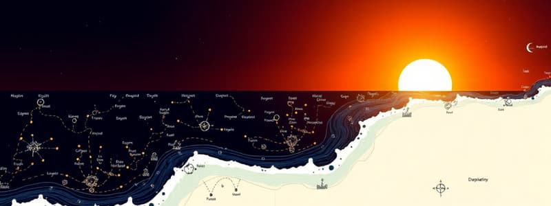
ECDIS Symbols
- Chart symbols represent navigational aids, hazards, and features.
- Hydrographic symbols represent depths, soundings, shorelines, reefs, and obstructions.
- Navigation aids include lighthouses, buoys, and markers.
- Obstructions include wrecks, rocks, and submerged hazards.
- Cautionary symbols indicate restricted areas, currents, and other hazards.
ECDIS Abbreviations
- SOG: Speed Over Ground (knots).
- COG: Course Over Ground (degrees).
- ETA: Estimated Time of Arrival.
- EBL: Electronic Bearing Line.
- S/R: Station/Reference.
- WP: Waypoint.
- MM: Mariners' Mark.
- ROT: Rate of Turn.
- GPS: Global Positioning System.
- AIS: Automatic Identification System.
- T/M: Turnmark.
- GC: Geographical Coordinate (latitude/longitude).
- NAVS: Navigation Systems.
- PND: Position Navigational Display.
- AOR: Area of Responsibility.
- DMA: Depth Minimum Altitude.
- S/V: Ship/Vessel.
- DCRT: Depth Converted Rate of Turn.
- CWT: Current-water tide.
- Wpt: Waypoint.
- G/L: Glide/Launch.
General Notes
- Standardized symbols and abbreviations are crucial for safe navigation.
- ECDIS systems may vary in format and representation.
- Practice with real ECDIS charts is essential.
Studying That Suits You
Use AI to generate personalized quizzes and flashcards to suit your learning preferences.


