Podcast
Questions and Answers
Why do measurements of Earth's circumference differ slightly when taken around the equator versus pole-to-pole?
Why do measurements of Earth's circumference differ slightly when taken around the equator versus pole-to-pole?
- The Earth's rotation causes it to bulge at the equator. (correct)
- Polar ice caps distort the measurements from pole to pole.
- The equator is subject to tidal forces causing expansion.
- Variations in gravitational pull affect measurement accuracy.
Which of the following best exemplifies a physical boundary used in geography?
Which of the following best exemplifies a physical boundary used in geography?
- The crest of the Rocky Mountains dividing watersheds. (correct)
- A time zone dividing regions with different legal times.
- A fence line between two privately owned ranches.
- A highway separating two counties.
How do macrogeographic regions differ fundamentally from political entities such as states and territories?
How do macrogeographic regions differ fundamentally from political entities such as states and territories?
- Political entities encompass larger areas than macrogeographic regions.
- Macrogeographic regions are defined by physical geography, while political entities are human constructs. (correct)
- Political entities are based on true geographical locations, while macrogeographic regions are based on perceptions.
- Macrogeographic regions are defined by international treaties, whereas political entities are not.
If a river serves as a boundary between two countries, what type of boundary is it considered?
If a river serves as a boundary between two countries, what type of boundary is it considered?
In what context would physical boundaries be most relevant for geographical analysis?
In what context would physical boundaries be most relevant for geographical analysis?
Flashcards
Earth's Equatorial Diameter
Earth's Equatorial Diameter
Earth's circumference when measured around the equator (approximately 24,901 miles).
Physical Boundaries
Physical Boundaries
Boundaries created by natural features like rivers, oceans, and mountains.
Political Boundaries
Political Boundaries
Human-made boundaries that separate states and territories.
Macrogeographic Regions
Macrogeographic Regions
Signup and view all the flashcards
Subregions
Subregions
Signup and view all the flashcards
Study Notes
- The Earth is the fifth-largest planet in our solar system.
- When measured at the equator, the Earth is approximately 24,901 miles across.
- When measured from pole-to-pole, the Earth is approximately 24,860 miles across.
- This makes the Earth a spheroid, similar to a circle but closer to an oval shape.
- Geographers map the Earth's surface, often including physical and political boundaries.
Physical Boundaries
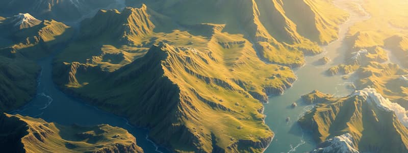
- Natural geographical features such as rivers, oceans, and mountains create physical boundaries.
Political Boundaries
- Political boundaries are human-made and separate states and territories into political entities.
- Political boundaries sometimes coincide with physical borders.
- Macrogeographic regions use physical boundaries to define true geographical locations of large landmasses.
- Political boundaries delineate between political entities, such as states and territories.
- States and territories reside within the subregions of macrogeographic regions and mark territory.
Studying That Suits You
Use AI to generate personalized quizzes and flashcards to suit your learning preferences.
Description
The Earth is a spheroid with both physical and political boundaries. Physical boundaries are natural geographical features like rivers and mountains. Political boundaries are human-made and separate states and territories, sometimes coinciding with physical borders.