Podcast
Questions and Answers
These DEMs are based on the ______ ellipsoid.
These DEMs are based on the ______ ellipsoid.
WGS84
LiDAR can detect multiple ______ signals for a single transmitted pulse.
LiDAR can detect multiple ______ signals for a single transmitted pulse.
return
Digital orthophotos have the displacement caused by camera tilt and terrain ______ removed.
Digital orthophotos have the displacement caused by camera tilt and terrain ______ removed.
relief
The USGS began producing digital orthophoto quads DOQs in ______.
The USGS began producing digital orthophoto quads DOQs in ______.
The standard USGS DOQ format is a ______-minute quarter quadrangle.
The standard USGS DOQ format is a ______-minute quarter quadrangle.
DOQs are useful for checking the accuracy of map layers such as ______ and parcel boundaries.
DOQs are useful for checking the accuracy of map layers such as ______ and parcel boundaries.
Land cover data are typically classified and compiled from ______ imagery.
Land cover data are typically classified and compiled from ______ imagery.
The NLCD databases use a ______-class scheme classified from Landsat images.
The NLCD databases use a ______-class scheme classified from Landsat images.
A bi-level scanned file contains values of ______ or 0.
A bi-level scanned file contains values of ______ or 0.
Bi-level scanned files are usually made for the purpose of ______.
Bi-level scanned files are usually made for the purpose of ______.
A digital elevation model (DEM) consists of an array of uniformly spaced ______ data.
A digital elevation model (DEM) consists of an array of uniformly spaced ______ data.
Traditional methods for producing DEMs include using a ______ and stereo pairs of aerial photographs.
Traditional methods for producing DEMs include using a ______ and stereo pairs of aerial photographs.
DEMs can also be interpolated from the contour lines of a ______ map.
DEMs can also be interpolated from the contour lines of a ______ map.
Optical sensors like Terra ASTER and SPOT 5 are used to generate ______ satellite images.
Optical sensors like Terra ASTER and SPOT 5 are used to generate ______ satellite images.
ASTER provides a nadir view and a backward view within a ______.
ASTER provides a nadir view and a backward view within a ______.
SPOT 5 DEM has a spatial resolution of ______ m.
SPOT 5 DEM has a spatial resolution of ______ m.
InSAR uses two or more SAR images to generate ______ of the reflective surface.
InSAR uses two or more SAR images to generate ______ of the reflective surface.
SRTM DEMs are derived from SAR data collected by two radar antennas placed on the ______.
SRTM DEMs are derived from SAR data collected by two radar antennas placed on the ______.
Light detection and ranging (LiDAR) is one of several new techniques for DEM ______.
Light detection and ranging (LiDAR) is one of several new techniques for DEM ______.
New techniques include photogrammetry and ______ laser scanning.
New techniques include photogrammetry and ______ laser scanning.
A digital raster graphic (DRG) is a scanned image of a USGS ______ map.
A digital raster graphic (DRG) is a scanned image of a USGS ______ map.
Maps to be digitized are typically scanned at 300 or ______ dots per inch (dpi).
Maps to be digitized are typically scanned at 300 or ______ dots per inch (dpi).
Rasterization converts ______ data to raster data.
Rasterization converts ______ data to raster data.
USGS DRGs are georeferenced to the UTM ______ system.
USGS DRGs are georeferenced to the UTM ______ system.
Many popular graphic files are in ______ format, such as TIFF and JPEG.
Many popular graphic files are in ______ format, such as TIFF and JPEG.
Vectorization converts raster data to ______ data.
Vectorization converts raster data to ______ data.
The first step of rasterization sets up a raster with a specified ______ size.
The first step of rasterization sets up a raster with a specified ______ size.
The value of cells that correspond to points in rasterization is set to ______.
The value of cells that correspond to points in rasterization is set to ______.
In vectorization, line thinning reduces the width of raster lines to ideally ______ pixel.
In vectorization, line thinning reduces the width of raster lines to ideally ______ pixel.
Line extraction is the process of determining where individual lines ______ and end.
Line extraction is the process of determining where individual lines ______ and end.
SRTM DEMs cover over 80 percent of the landmass of the Earth between 60° N and ______ S.
SRTM DEMs cover over 80 percent of the landmass of the Earth between 60° N and ______ S.
In the United States, elevation data from SRTM DEMs is spaced ______ arc-second apart between 0° and 50° latitude.
In the United States, elevation data from SRTM DEMs is spaced ______ arc-second apart between 0° and 50° latitude.
For other countries, SRTM DEMs are available at a ______-meter resolution.
For other countries, SRTM DEMs are available at a ______-meter resolution.
Higher resolution DEMs can be created from SAR images collected by ______, TerraSAR-X, and RADARSAT-2.
Higher resolution DEMs can be created from SAR images collected by ______, TerraSAR-X, and RADARSAT-2.
TerraSAR-X operates at an orbit height of ______ km.
TerraSAR-X operates at an orbit height of ______ km.
LiDAR data for DEM generation has increased significantly since the ______-1990s.
LiDAR data for DEM generation has increased significantly since the ______-1990s.
The basic components of a LiDAR system include a laser scanner, GPS, and an ______ Measurement Unit (IMU).
The basic components of a LiDAR system include a laser scanner, GPS, and an ______ Measurement Unit (IMU).
Using the time lapse of the laser pulse, the distance between the scanner and the ______ can be calculated.
Using the time lapse of the laser pulse, the distance between the scanner and the ______ can be calculated.
A major application of LiDAR technology is the creation of high resolution DEMs with a spatial resolution of ______ to 2 meters.
A major application of LiDAR technology is the creation of high resolution DEMs with a spatial resolution of ______ to 2 meters.
The pulse generator in a LiDAR system emits rapid laser pulses with a wavelength between ______ and 1.6 µm.
The pulse generator in a LiDAR system emits rapid laser pulses with a wavelength between ______ and 1.6 µm.
Flashcards are hidden until you start studying
Study Notes
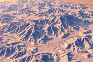
Digital Elevation Models (DEMs)
- A DEM is an array of uniformly spaced elevation data crucial for terrain mapping and analysis.
- Traditional DEM production involves the use of stereoplotters and stereo pairs of aerial photographs; this method is accurate but labor-intensive and requires skilled operators.
- Contour lines from topographic maps can also be used to interpolate DEMs.
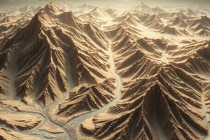
DEM Generation Techniques
-
Optical Sensors:
- Utilizes two or more optical satellite images from different angles.
- Key Optical Sensors:
- Terra ASTER: 30 m spatial resolution.
- SPOT 5: 20 m spatial resolution.
- High-resolution satellite images like World-View can also generate DEMs if stereo pairs are available.
-
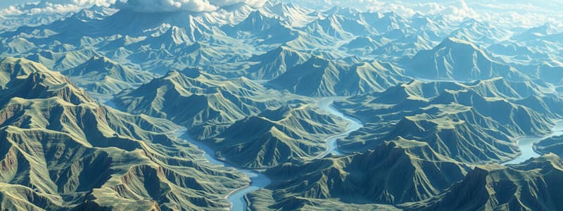
InSAR:
- Generates elevations using synthetic aperture radar (SAR) images.
- SRTM DEMs from 2000 cover over 80% of Earth's landmass and provide elevation data at different resolutions (1 arc-second ≈ 30 m at midlatitudes).
- Newer SAR data from Sentinel-1, TerraSAR-X, and RADARSAT-2 offer higher resolution DEMs (down to 1 m).
-
LiDAR:
- Laser scanner technology mounts on aircraft to produce detailed DEMs.
- Capable of generating high-resolution DEMs (0.5 to 2 m spatial resolution) with georeferencing based on WGS84.
- Can capture multiple height levels (e.g., ground vs. canopy elevation) using return signals.
Other Raster Data Types
-
Digital Orthophotos:
- Digitized images of aerial photographs where terrain relief displacement is removed.
- Created by the USGS since 1991 with a ground resolution of 1 m.
-
Land Cover Data:
- Classified from satellite imagery, released by USGS as NLCD databases (2001, 2006, and 2011) using a 16-class scheme with 30 m spatial resolution.
-
Bi-Level Scanned Files:
- Scanned images with binary values (1 or 0), often used for digitizing boundaries from maps.
-
Digital Raster Graphics (DRGs):
- Scans of USGS topographic maps with a ground resolution of 2.4 m, georeferenced to the UTM coordinate system.
-
Graphic Files:
- Various maps and images can be stored in raster formats like TIFF, GIF, and JPEG.
Data Conversion and Integration
-
Raster and vector data models remain separate in practice although integrated models have been proposed.
-
Rasterization:
- Converts vector data to raster data in three steps: setup raster grid, assign values to relevant cells, and fill polygon interiors.
-
Vectorization:
- Converts raster data to vector data, involving line thinning, line extraction, and topological reconstruction.
- Essential for maintaining geometrical integrity when transforming data types.
Studying That Suits You
Use AI to generate personalized quizzes and flashcards to suit your learning preferences.