Podcast
Play an AI-generated podcast conversation about this lesson
Download our mobile app to listen on the go
Get App
Questions and Answers
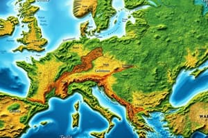
What do cartographers use to show different climate or precipitation zones on climate maps?
What do cartographers use to show different climate or precipitation zones on climate maps?
Colours.
What do climate maps provide information about?
What do climate maps provide information about?
Climate and precipitation (rain and snow) of a region.
What is reflected in climatic maps?
What is reflected in climatic maps?
The territorial distribution of climatic conditions.
How are climatic maps prepared?
How are climatic maps prepared?
Signup and view all the answers
What do climatic maps depict?
What do climatic maps depict?
Signup and view all the answers
Flashcards are hidden until you start studying