Podcast
Questions and Answers
What is the method of navigation that relies on visual landmarks?
What is the method of navigation that relies on visual landmarks?
- Dead reckoning
- Inertial navigation
- Pilotage (correct)
- Celestial navigation
Which navigation method uses airborne radio receivers to establish lines of position?
Which navigation method uses airborne radio receivers to establish lines of position?
- Radio navigation (correct)
- Global Positioning System
- Inertial navigation
- Dead reckoning
What type of aeronautical chart provides detailed information around a busy air terminal?
What type of aeronautical chart provides detailed information around a busy air terminal?
- World Aeronautical Charts (WAC)
- VFR Terminal Area Charts (correct)
- Sectional Charts
- Cruising Charts
Which projection is known for distorting the shapes of large objects as one moves away from the equator?
Which projection is known for distorting the shapes of large objects as one moves away from the equator?
How is longitude measured on a map or globe?
How is longitude measured on a map or globe?
Which of the following is NOT an element of a map?
Which of the following is NOT an element of a map?
What is the main function of the International Date Line?
What is the main function of the International Date Line?
Which navigation method employs sensitive motion sensors to monitor an aircraft's displacement?
Which navigation method employs sensitive motion sensors to monitor an aircraft's displacement?
Flashcards are hidden until you start studying
Study Notes
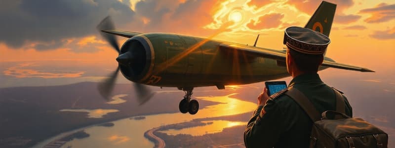
Air Navigation
- Navigating an aircraft from one location to another while monitoring position
- Methods of Navigation
Pilotage Navigation
- Using visual landmarks
- Navigating by sight
Dead Reckoning Navigation
- Predetermined course based on time, speed, and distance calculations
Radio Navigation
- Uses airborne radio receivers
- Receives signals from ground-based transmitters to establish position lines
- Examples: VOR, ADF/NDB, HIS, RMI
Celestial Navigation
- Uses planetary and star observations
- Requires almanac data to determine position on Earth
Inertial Navigation
- Utilizes highly sensitive motion sensors and a computer
- Monitors displacement from a known position
- Computer set with initial position before takeoff, sensor data updates position continuously.
Global Positioning System (GPS)
- Space-based radio positioning, navigation, and time-transfer system
- Developed and maintained by the US Department of Defense
Aeronautical Charts
- Detailed maps with aeronautical and navigational information
- Includes topography, hazards, obstructions, navigational aids, minimum altitude, routes, airspace, airports
Types of Aeronautical Charts
- VFR Terminal Area Charts: Large-scale, showing significant detail around busy air terminals. Scale: 1:250,000 (roughly 4 statute miles per inch).
- Sectional Charts: Scale: 1:500,000
- World Aeronautical Charts (WAC): Scale: 1:1,000,000
Map Elements
- Projection: Method of transferring Earth's geography from a globe to a flat surface
- Mercator Projection: Cylindrical projection; distorts the size and shape of large objects as distance increases from the equator to the poles.
- Lambert Conformal Conic Projection: Conic projection; commonly used for aeronautical charts.
- Scale: Map size relative to Earth; typically expressed as a fraction or ratio.
- Coordinate Position/Geographic Grids: Intersecting lines on maps and globes; used for location identification.
- Latitude: Horizontal lines running west to east; measured from 0 degrees at the equator to 90 degrees at the North and South poles.
- Longitude: Lines running north to south; measured from 0 to 180 degrees westward or eastward; the prime meridian (Greenwich, England) serves as the reference line.
- Equator: Imaginary line dividing the globe into the Northern and Southern hemispheres.
- International Date Line: Where 180 degrees West meets 180 degrees East in the Pacific Ocean.
- Legend: Explanation of symbols used on the map.
Studying That Suits You
Use AI to generate personalized quizzes and flashcards to suit your learning preferences.