Analyze the attached map of Africa.
Understand the Problem
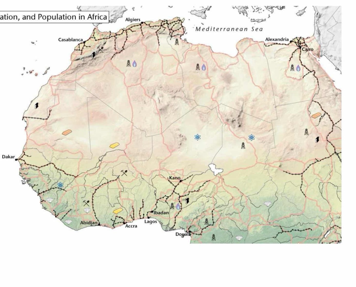
The image shows a map of Africa with symbols representing resources, population, and infrastructure. No specific question is asked, so this will be categorized as miscellaneous.
Answer
The map shows population centers, resources, and transportation routes in Africa.
Based on the map provided, it shows population centers in Africa such as Algiers, Dakar, Casablanca, Alexandria, Cairo, Kano, Ibadan, Abidjan, Lagos, Accra and Douala. It also shows some resources locations, and transportation routes.
Answer for screen readers
Based on the map provided, it shows population centers in Africa such as Algiers, Dakar, Casablanca, Alexandria, Cairo, Kano, Ibadan, Abidjan, Lagos, Accra and Douala. It also shows some resources locations, and transportation routes.
More Information
Africa is the world's second-largest and second-most populous continent.
Tips
Pay close attention to the symbols and labels on the map to accurately identify the different features and patterns.
Sources
AI-generated content may contain errors. Please verify critical information