Podcast
Questions and Answers
What is the main function of a state capital?
What is the main function of a state capital?
- To be the center of commerce
- To serve as the seat of government (correct)
- To be a major tourist attraction
- To serve as the largest city in the state
Which of the following geographic regions does not border the Gulf of Mexico?
Which of the following geographic regions does not border the Gulf of Mexico?
- South
- Northeast
- Midwest (correct)
- West
In what year did the United States declare independence from Great Britain?
In what year did the United States declare independence from Great Britain?
- 1776 (correct)
- 1790
- 1775
- 1785
Which of the following was a significant event in the 20th century?
Which of the following was a significant event in the 20th century?
What was the result of the Mexican Cession of 1848?
What was the result of the Mexican Cession of 1848?
Flashcards are hidden until you start studying
Study Notes
Capitals
- There are 50 state capitals in the United States.
- The capital of each state is the city that serves as the seat of government.
- Some state capitals are also the largest city in the state, while others are not.
- Examples of state capitals include:
- Albany, New York
- Sacramento, California
- Austin, Texas
- Madison, Wisconsin
Geography
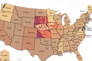
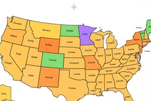
- The 50 states of the United States can be divided into several geographic regions, including:
- New England (Maine, New Hampshire, Vermont, Massachusetts, Rhode Island, Connecticut)
- Midwest (Illinois, Indiana, Michigan, Ohio, Wisconsin, Minnesota, Iowa, Kansas, Missouri, Nebraska, North Dakota, South Dakota)
- South (Texas, Oklahoma, Arkansas, Louisiana, Mississippi, Alabama, Georgia, Florida, Tennessee, Kentucky, West Virginia, Virginia, North Carolina, South Carolina)
- West (California, Oregon, Washington, Arizona, Nevada, Utah, Colorado, New Mexico, Wyoming, Montana, Idaho)
- Northeast (New York, New Jersey, Pennsylvania, Delaware, Maryland, Washington D.C.)
- The United States shares borders with two countries: Canada to the north and Mexico to the south.
- The country's terrain varies greatly, with mountains, forests, deserts, and coastlines along the Atlantic, Pacific, and Gulf of Mexico.
History
- The United States declared independence from Great Britain in 1776.
- The original 13 colonies became the first states, with the remaining states admitted to the Union over time.
- The Louisiana Purchase of 1803 and the Mexican Cession of 1848 significantly expanded U.S. territory.
- The American Civil War (1861-1865) was fought between the northern and southern states over issues of slavery and states' rights.
- The 20th century saw significant events such as World War I and II, the Great Depression, and the Civil Rights Movement.
- The United States has continued to grow and evolve, with significant events shaping the country's history and development.
Capitals
- There are 50 state capitals in the United States, each serving as the seat of government.
- Examples of state capitals include Albany, New York; Sacramento, California; Austin, Texas; and Madison, Wisconsin.
Geography
- The United States can be divided into five geographic regions: New England, Midwest, South, West, and Northeast.
- The regions are comprised of the following states:
- New England: Maine, New Hampshire, Vermont, Massachusetts, Rhode Island, Connecticut
- Midwest: Illinois, Indiana, Michigan, Ohio, Wisconsin, Minnesota, Iowa, Kansas, Missouri, Nebraska, North Dakota, South Dakota
- South: Texas, Oklahoma, Arkansas, Louisiana, Mississippi, Alabama, Georgia, Florida, Tennessee, Kentucky, West Virginia, Virginia, North Carolina, South Carolina
- West: California, Oregon, Washington, Arizona, Nevada, Utah, Colorado, New Mexico, Wyoming, Montana, Idaho
- Northeast: New York, New Jersey, Pennsylvania, Delaware, Maryland, Washington D.C.
- The country shares borders with Canada to the north and Mexico to the south.
- The terrain varies greatly, with mountains, forests, deserts, and coastlines along the Atlantic, Pacific, and Gulf of Mexico.
History
- The United States declared independence from Great Britain in 1776.
- The original 13 colonies became the first states, with the remaining states admitted to the Union over time.
- The Louisiana Purchase of 1803 and the Mexican Cession of 1848 significantly expanded U.S. territory.
- The American Civil War (1861-1865) was fought between the northern and southern states over issues of slavery and states' rights.
- The 20th century saw significant events such as World War I and II, the Great Depression, and the Civil Rights Movement.
Studying That Suits You
Use AI to generate personalized quizzes and flashcards to suit your learning preferences.


