Podcast
Play an AI-generated podcast conversation about this lesson
Download our mobile app to listen on the go
Get App
Questions and Answers
What is the main function of Doppler radar?
What is the main function of Doppler radar?
- Collect data about precipitation
- Collect data about temperature
- Detect how a target is moving (correct)
- Create satellite maps
What do satellite maps primarily show?
What do satellite maps primarily show?
- Real-time temperature changes
- Wind speed information
- Cloud cover and major weather changes (correct)
- Precipitation patterns
Which of the following is an example of precipitation?
Which of the following is an example of precipitation?
- Cool air fronts
- Sunny weather
- Hail (correct)
- Warm air masses
What do temperature maps show?
What do temperature maps show?
Signup and view all the answers
Why is knowing wind speed important according to the text?
Why is knowing wind speed important according to the text?
Signup and view all the answers
Flashcards are hidden until you start studying
Study Notes
Understanding Weather Maps
- Weather maps are used to plan for the day by showing what the weather will be like in a certain area for the day and coming days.
- Meteorologists, scientists who study the atmosphere, use computer systems, satellites, and observations to forecast the weather.
Reading a Weather Map
- Most weather maps have a legend that acts as a key to understand the symbols on the map.
- The legend explains what each symbol on the map represents, such as 'H' for higher pressure indicating nice, clear weather.
Types of Weather Maps
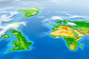
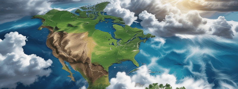
- Satellite maps take pictures of Earth from space, showing cloud cover and major weather changes.
- Doppler radar maps use the Doppler effect to detect how a target is moving, displaying information about storms and precipitation.
- Precipitation maps display where different types of precipitation will occur, using symbols or colors to indicate rain, snow, etc.
- Temperature maps show the temperature of a particular area for a given time.
- Front maps show cold fronts (cold air replacing warm air) and warm fronts (warm air replacing cold air).
- Wind Speed maps display how rough the winds will be, useful for planning outdoor activities like flying a kite.
Studying That Suits You
Use AI to generate personalized quizzes and flashcards to suit your learning preferences.