Podcast
Questions and Answers
Which climate zone is characterized by high temperatures and evenly distributed rainy days throughout the year?
Which climate zone is characterized by high temperatures and evenly distributed rainy days throughout the year?
- Arid zone
- Subtropical zone (correct)
- Temperate zone
- Tropical zone
What are the two seasons in the tropical zone?
What are the two seasons in the tropical zone?
- Dry season and wet season (correct)
- Spring and autumn
- Rainy season and stormy season
- Winter and summer
Which of the following is classified as a nonrenewable resource?
Which of the following is classified as a nonrenewable resource?
- Gold (correct)
- Fish
- Coconuts
- Timber
Which type of natural resource includes plants and animals?
Which type of natural resource includes plants and animals?
What type of natural resource is characterized by its ability to be replicated?
What type of natural resource is characterized by its ability to be replicated?
What does topography mainly help to describe?
What does topography mainly help to describe?
Which of the following best defines climate?
Which of the following best defines climate?
Which characteristic is LEAST relevant to understanding topography?
Which characteristic is LEAST relevant to understanding topography?
What type of climate is characterized by cool summers and very cold winters?
What type of climate is characterized by cool summers and very cold winters?
Which of the following is NOT a geographic factor affecting human life?
Which of the following is NOT a geographic factor affecting human life?
What does latitude measure in terms of geographic location?
What does latitude measure in terms of geographic location?
In what climate zone does the transition from summer to winter occur smoothly?
In what climate zone does the transition from summer to winter occur smoothly?
Which of the following tools is used to show the physical features of an area?
Which of the following tools is used to show the physical features of an area?
Flashcards are hidden until you start studying
Study Notes
Topography
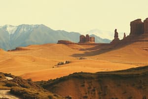
- Topography describes the physical features of a land area.
- Topography includes natural formations like mountains, rivers, lakes, and valleys.
- Topography also encompasses man-made features like roads, dams, and cities.
- Landforms are physical features that affect an area.
- Elevation refers to the height of mountains, valleys, hills, plateaus, glaciers, lakes, and rivers.
- Latitude determines the north/south position of a location relative to the equator.
- Longitude determines the east/west position of a location, measured from the Prime Meridian.
Topographic Map
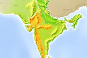
- A topographic map is a geographic tool that depicts the physical features of a region.
Climate
- Climate refers to the average measurements of temperature, wind, humidity, snow, and rainfall over a long period in a particular location.
Climate Zones
- There are four major climate zones: polar and subpolar, temperate, subtropical, and tropical.
- Polar and subpolar zones have cool summers and very cold winters.
- Temperate zones have no extreme temperatures and precipitation, with smooth transitions between seasons.
- Subtropical zones experience relatively high temperatures and evenly distributed rainfall throughout the year.
- Tropical zones have only two seasons: a dry season and a wet season.
Natural Resources
- Natural resources are naturally occurring materials that humans can use for economic benefits.
- Natural resources are categorized into four types: renewable, living, nonrenewable, and fossil fuels.
- Renewable resources can be reproduced or replicated, such as coconut trees.
- Living resources are plants and animals that provide food and other materials.
- Nonrenewable resources cannot be replaced once used or gathered, such as gold, silver, and diamonds.
- Fossil fuels are sources of energy, such as oil, coal, and diesel.
Studying That Suits You
Use AI to generate personalized quizzes and flashcards to suit your learning preferences.


