Podcast
Questions and Answers
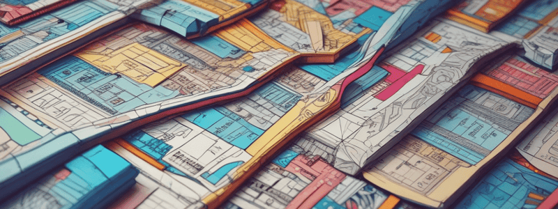
Why are maps and model drawings considered scale drawings?
Why are maps and model drawings considered scale drawings?
- Because they are accurately sized smaller or larger versions of the original. (correct)
- Because they are always drawn to the exact same size as the original.
- Because they are always perfectly scaled to the measurements provided.
- Because they can fit in your pocket easily.
What is the purpose of a legend on a map?
What is the purpose of a legend on a map?
- To inform about the weather conditions in each location.
- To explain the scale of the map and how it relates to real-life distances. (correct)
- To guide people on how to navigate using the map.
- To provide interesting stories about the places on the map.
Why is math important in creating scale drawings?
Why is math important in creating scale drawings?
- To add complexity to the drawing.
- To ensure that things are always drawn larger than the original.
- To make the drawing more colorful and appealing.
- To figure out how much smaller or larger things should be drawn to be accurately sized versions. (correct)
What role does math play in understanding scale on a map?
What role does math play in understanding scale on a map?
What is the main purpose of a model drawing in car manufacturing?
What is the main purpose of a model drawing in car manufacturing?
How is a scale ratio of 1 inch: 50 miles typically represented in a model drawing?
How is a scale ratio of 1 inch: 50 miles typically represented in a model drawing?
How can one determine the real-life distance between San Francisco and Santa Cruz on the map?
How can one determine the real-life distance between San Francisco and Santa Cruz on the map?
What do model drawings like blueprints allow individuals to do?
What do model drawings like blueprints allow individuals to do?
In a scale drawing where 1 inch equals 12 inches in real life, if a line on the drawing measures 2 inches, how long would it be in reality?
In a scale drawing where 1 inch equals 12 inches in real life, if a line on the drawing measures 2 inches, how long would it be in reality?
What is the main purpose of using a legend in a map or scale drawing?
What is the main purpose of using a legend in a map or scale drawing?
Flashcards are hidden until you start studying