Podcast
Questions and Answers
How did Polynesian navigators use the stars to guide their voyages across the Pacific Ocean?
How did Polynesian navigators use the stars to guide their voyages across the Pacific Ocean?
Polynesian navigators used a star compass, memorized the rising and setting points of stars and constellations, and divided the sky into four quadrants. They used mental tricks to estimate where south is.
How did Polynesian navigators use mental tricks to estimate where south is?
How did Polynesian navigators use mental tricks to estimate where south is?
Polynesian navigators used mental tricks such as observing the direction of ocean swells and the flight patterns of birds to estimate where south is.
What were some of the cultural practices that King Kalakaua sought to revive and preserve during his reign in Hawaii?
What were some of the cultural practices that King Kalakaua sought to revive and preserve during his reign in Hawaii?
King Kalakaua sought to revive traditional practices like hula, chant, and language.
What other clues did navigators use to find their destination once they neared it?
What other clues did navigators use to find their destination once they neared it?
What are some of the clues that Polynesian navigators used when they neared their destination?
What are some of the clues that Polynesian navigators used when they neared their destination?
What event led to the annexation of Hawaii by the United States, and how did it impact King Kalakaua's legacy?
What event led to the annexation of Hawaii by the United States, and how did it impact King Kalakaua's legacy?
Flashcards are hidden until you start studying
Study Notes
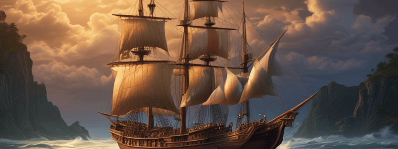
- Polynesian navigators managed voyages across the Pacific Ocean without modern navigational aids.
- Voyages began around 1500 B.C. when people settled Polynesia.
- Voyages relied on sturdy double-hulled canoes powered by sails and steered with a single large oar.
- Navigators used the Sun, Moon, stars, planets, ocean currents, and clouds as guides.
- They used a star compass, memorized the rising and setting points of stars and constellations, and divided the sky into four quadrants.
- Navigators used mental tricks to estimate where south is.
- Clouds were also useful navigational aids that could indicate landmasses.
- Once navigators neared their destination, they used other clues such as the flight patterns of birds, floating debris or vegetation, and types of fish in the area.
- Evidence of Polynesian navigation comes from petroglyphs, written observations of European explorers, and Polynesian oral traditions.
- In 2017, a voyaging canoe called Hokulea completed a worldwide voyage using only traditional navigation techniques.
Studying That Suits You
Use AI to generate personalized quizzes and flashcards to suit your learning preferences.


