Podcast
Questions and Answers
What is the Plateau of Tibet?
What is the Plateau of Tibet?
A vast elevated plateau in Central Asia and East Asia, covering most of Tibet.
Where are the Ural Mountains located?
Where are the Ural Mountains located?
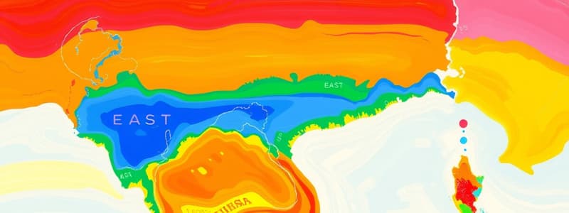
Not on the diagram above.
What river flows across northern China?
What river flows across northern China?
Yellow River
Which river runs through the southeastern part of China?
Which river runs through the southeastern part of China?
What is the Gobi Desert?
What is the Gobi Desert?
Where is the Sea of Japan located?
Where is the Sea of Japan located?
What body of water is between the Korean Peninsula and China?
What body of water is between the Korean Peninsula and China?
What does the Korean Peninsula consist of?
What does the Korean Peninsula consist of?
What is the significance of the Ural Mountains?
What is the significance of the Ural Mountains?
Flashcards are hidden until you start studying
Study Notes
Physical Features of East and Southeast Asia
-
Plateau of Tibet: A vast elevated plateau located in Central and East Asia, primarily encompassing Tibet. It is one of the highest regions on Earth.
-
Ural Mountains: A mountain range that serves as a natural boundary between Europe and Asia. Note: Not depicted on the map being referenced, but important for geographical knowledge.
-
Yellow River: Also known as Huang He, it traverses northern China and is one of the most significant rivers in Chinese history, often referred to as the "cradle of Chinese civilization."
-
Yangtze River: The longest river in China, flowing through the southeastern part of the country. It plays a vital role in the economy, culture, and ecology of the region.
-
Gobi Desert: Among the world's largest deserts, it is situated in northern China and southern Mongolia. The Gobi serves as a natural barrier to trade routes, significantly impacting historical commerce.
-
Sea of Japan: A body of water located between North Korea and Japan, playing a crucial role in the maritime activities and climate of the surrounding countries.
-
Yellow Sea: Positioned between the Korean Peninsula and China, it receives the flow from the Yellow River, making it an important geographical feature for navigation and fishing.
-
Korean Peninsula: Comprising North Korea and South Korea, this peninsula is surrounded by the Yellow Sea, the Sea of Japan, and the Korea Strait, serving as a significant geopolitical region in East Asia.
-
Ural Mountains: Important to study despite their absence on the map, serving as a crucial geographical landmark between Europe and Asia for both historical and cultural contexts.
Studying That Suits You
Use AI to generate personalized quizzes and flashcards to suit your learning preferences.


