Podcast
Questions and Answers
What instrument was primarily used for astronomical measurements such as altitude and latitude?
What instrument was primarily used for astronomical measurements such as altitude and latitude?
- Quadrant
- Lead line
- Astrolabe (correct)
- Logbook
What was the purpose of the log line in maritime navigation?
What was the purpose of the log line in maritime navigation?
- To measure altitude
- To measure speed (correct)
- To maintain a logbook
- To measure depth
Who was known for initiating Portuguese voyages of exploration in the 15th century?
Who was known for initiating Portuguese voyages of exploration in the 15th century?
- Ferdinand Magellan
- Christopher Columbus
- King John I
- Prince Henry 'the Navigator' (correct)
What significant action did Prince Henry's explorers take to gather information about the territories they were entering?
What significant action did Prince Henry's explorers take to gather information about the territories they were entering?
What was a fathom used to measure?
What was a fathom used to measure?
Which of the following archipelagos did Portugal take control of under Henry's direction?
Which of the following archipelagos did Portugal take control of under Henry's direction?
What crucial resources did the Portuguese establish in Madeira?
What crucial resources did the Portuguese establish in Madeira?
What information was typically recorded in a ship's logbook?
What information was typically recorded in a ship's logbook?
Flashcards
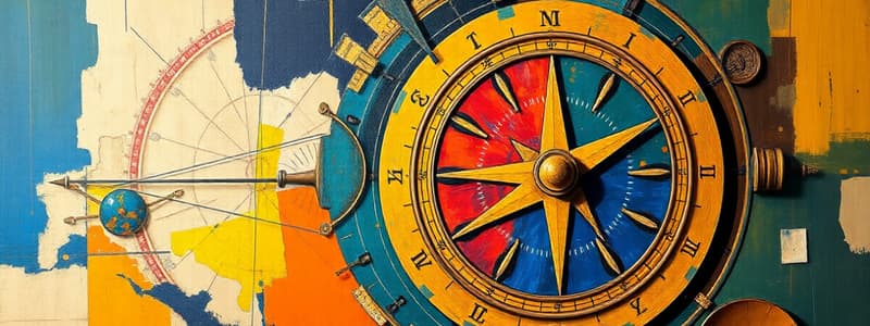
Astrolabe
Astrolabe
An instrument used to determine latitude by measuring the angle between the horizon and a celestial body, such as the sun or a star.
Quadrant
Quadrant
A navigational instrument used to determine altitude by measuring the angle between the horizon and a celestial body.
Backstaff
Backstaff
A navigational device used to measure the altitude of a celestial body above the horizon without directly looking at the sun.
Log Line
Log Line
Signup and view all the flashcards
Lead Line
Lead Line
Signup and view all the flashcards
Logbook
Logbook
Signup and view all the flashcards
Portolan Charts
Portolan Charts
Signup and view all the flashcards
European Age of Exploration
European Age of Exploration
Signup and view all the flashcards
Study Notes
Navigation Instruments
- The compass, used to determine direction, was invented in China, used by European sailors in the early 1300s
- The quadrant and astrolabe determined latitude (distance from the equator).
- The backstaff was developed by John Davis in 1594, an improvement for sailors with bad eyesight, for calculating latitude
Log Line
- A log line measures water depth by a lead weight tied to a rope with knots measuring fathoms
- The log line is used when close to land to avoid running aground
Logbook
- A ship's captain recorded daily direction, speed, distance and weather conditions.
- These logs were used to create new sea routes.
Portolan Charts
- Europeans developed portolan charts to map coastlines, harbours, currents and tides.
Portuguese Exploration
- The European Age of Exploration started in the early 1400s, with Portugal aiming for a sea route to India and the silk and spice markets of Asia
- Prince Henry 'the Navigator' (1394-1460) led voyages, focusing on the west coast of Africa, beyond Cape Bojador.
- The Portuguese used mapmakers, astronomers, instrument makers, and sailors to establish new routes.
- Strategies included seizing natives as guides and forcing information, for exploration and trade.
- The Portuguese explored the west coast of Africa to Sierra Leone by 1460
- Portugal claimed the Azores and Madeira islands
- Slaves were brought to work plantations in Madeira and Azores.
- Uninhabited Cape Verde islands were also settled and used for cotton plantations
Studying That Suits You
Use AI to generate personalized quizzes and flashcards to suit your learning preferences.