Podcast
Questions and Answers
What is a key feature of Geographic Information Systems (GIS)?
What is a key feature of Geographic Information Systems (GIS)?
- Manual creation of paper maps
- Software for analyzing geographic data (correct)
- Three-dimensional representation of Earth
- Two-dimensional maps of urban areas
Which of the following best describes climate change?
Which of the following best describes climate change?
- Acute weather events like hurricanes
- Long-term alterations in temperature and weather patterns (correct)
- Immediate effects of pollution on air quality
- Recurrent earthquakes affecting a region
What is one of the primary goals of resource management in geography?
What is one of the primary goals of resource management in geography?
- Increasing the population in urban areas
- Conserving and efficiently using natural resources (correct)
- Creating more natural disasters
- Maximizing air and water pollution
Which application of geography involves preparing for natural disasters?
Which application of geography involves preparing for natural disasters?
What aspect of geography helps with designing and managing cities?
What aspect of geography helps with designing and managing cities?
What is the focus of physical geography?
What is the focus of physical geography?
Which branch of geography deals with the relationship between people and their environment?
Which branch of geography deals with the relationship between people and their environment?
What does the term 'spatial distribution' refer to in geography?
What does the term 'spatial distribution' refer to in geography?
What defines a formal region in geography?
What defines a formal region in geography?
Which method involves direct observation and data collection in the field?
Which method involves direct observation and data collection in the field?
What is one of the primary uses of Geographic Information Systems (GIS)?
What is one of the primary uses of Geographic Information Systems (GIS)?
Which of the following components is NOT considered one of Earth's systems?
Which of the following components is NOT considered one of Earth's systems?
What does 'scale' refer to in geographic studies?
What does 'scale' refer to in geographic studies?
Flashcards
Globe
Globe
A three-dimensional model of the Earth, showing its continents, oceans, and other geographical features.
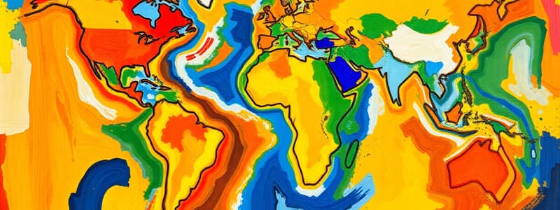
Map
Map
A two-dimensional representation of the Earth's surface, displaying geographical information using symbols, colors, and scales.
Climate Change
Climate Change
A long-term shift in average weather patterns, particularly temperature and precipitation.
Pollution
Pollution
Signup and view all the flashcards
Urban Planning
Urban Planning
Signup and view all the flashcards
What is geography?
What is geography?
Signup and view all the flashcards
What is physical geography?
What is physical geography?
Signup and view all the flashcards
What is human geography?
What is human geography?
Signup and view all the flashcards
What is spatial distribution?
What is spatial distribution?
Signup and view all the flashcards
What is location?
What is location?
Signup and view all the flashcards
What is place?
What is place?
Signup and view all the flashcards
What is region?
What is region?
Signup and view all the flashcards
What is scale in geography?
What is scale in geography?
Signup and view all the flashcards
Study Notes
Introduction to Geography
- Geography is the study of the Earth's surface, its features, and the processes that shape them.
- It encompasses both the physical and human aspects of the world.
Branches of Geography
- Physical Geography: Focuses on the Earth's natural environment, including landforms, climate, ecosystems, and water resources.
- Sub-branches include geomorphology, climatology, hydrology, biogeography, and soil geography.
- Human Geography: Examines the relationship between people and their environment, including population distribution, urbanization, economic activities, and cultural landscapes.
- Sub-branches include economic geography, population geography, urban geography, cultural geography, political geography, and historical geography.
Key Concepts in Geography
- Spatial distribution: The arrangement of phenomena across space. This includes patterns, density, concentration, and clustering.
- Location: The position of a place on the Earth's surface. This can be absolute (e.g., coordinates) or relative (e.g., near a city).
- Place: A specific point on the Earth's surface with unique characteristics that differentiate it from other locations.
- Region: An area with shared characteristics. Regions can be formal (defined by official boundaries), functional (defined by interactions), or vernacular (defined by perception).
- Scale: The level of detail or extent of an area being studied. Large-scale maps show more detail than small-scale maps.
- Interaction: The exchange between different areas through movement, communication, or trade. This includes diffusion and migration.
Geographic Methods
- Fieldwork: Direct observation and data collection in the natural environment or through interactions with people.
- Mapping: The creation of visual representations of geographic information, including maps of physical features, human activities, and spatial patterns.
- Geographic Information Systems (GIS): Computer-based tools for creating, managing, analyzing, and displaying geographic data.
- Remote sensing: Acquisition of data from a distance, such as satellite imagery and aerial photography.
- Spatial analysis: Techniques used to analyze spatial patterns, relationships, and trends in geographic data.
Earth's Systems
- Earth's systems include the atmosphere, biosphere, hydrosphere, and lithosphere.
- These systems interact dynamically with each other, creating complex processes.
Geographic Tools
- Globes: Three-dimensional representations of the Earth.
- Maps: Two-dimensional representations depicting various aspects of the Earth's surface.
- Geographic Information Systems (GIS): Software programs for analyzing, storing, and mapping geographic information.
Environmental Issues in Geography
- Climate change: The long-term shifts in temperatures and weather patterns.
- Pollution: The contamination of air, water, and land.
- Natural disasters: Events such as floods, earthquakes, and volcanic eruptions.
- Resource management: Efficient use and conservation of natural resources.
Applications of Geography
- Urban planning: Designing and managing cities.
- Environmental protection: Protecting natural habitats and resources.
- Disaster preparedness and mitigation: Planning for and minimizing the effects of natural disasters.
- Resource management: Optimizing the use of available resources.
- Global issues: Understanding and responding to global challenges such as population growth, food security, and conflict.
Studying That Suits You
Use AI to generate personalized quizzes and flashcards to suit your learning preferences.


