Podcast
Questions and Answers
What does physical geography primarily focus on?
What does physical geography primarily focus on?
- Natural features like landforms and climate (correct)
- Human activities and societies
- Cultural practices and their spatial distribution
- Population distribution and growth
Which branch of geography examines economic activities and their spatial organization?
Which branch of geography examines economic activities and their spatial organization?
- Human geography (correct)
- Cultural geography
- Urban geography
- Physical geography
What is the primary focus of climatology within physical geography?
What is the primary focus of climatology within physical geography?
- The study of water on Earth
- The variations in weather patterns over time (correct)
- The assessment of soil properties
- The investigation of landforms
What does spatial analysis in geography involve?
What does spatial analysis in geography involve?
Which term refers to a specific location on the Earth's surface with unique characteristics?
Which term refers to a specific location on the Earth's surface with unique characteristics?
How is the position of a place described in geography?
How is the position of a place described in geography?
What does globalization in geography refer to?
What does globalization in geography refer to?
Which technique uses technology to collect data about the Earth from a distance?
Which technique uses technology to collect data about the Earth from a distance?
Flashcards
Physical Geography
Physical Geography
The study of Earth's natural features, including landforms, climate, water, and ecosystems.
Human Geography
Human Geography
The study of human activities and cultures in relation to their environment.
Spatial Analysis
Spatial Analysis
Examining patterns and relationships between geographic phenomena.(e.g. climate change, disease spreading)
Place
Place
Signup and view all the flashcards
Region
Region
Signup and view all the flashcards
Geographic Scale
Geographic Scale
Signup and view all the flashcards
Globalization
Globalization
Signup and view all the flashcards
Geographic Information Systems (GIS)
Geographic Information Systems (GIS)
Signup and view all the flashcards
Study Notes
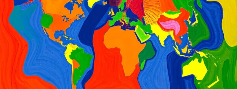
Introduction to Geography
- Geography is the study of the Earth's surface, including its physical features, human populations, and the interactions between them.
- It's a multifaceted discipline combining elements of both natural sciences (like geology and ecology) and social sciences (like sociology and economics).
Branches of Geography
- Physical Geography: Focuses on natural features like landforms, climate, weather, soil, water, and ecosystems.
- Hydrology is the study of water on Earth.
- Climatology explores variations in weather patterns over time and locations.
- Geomorphology investigates landforms and processes that shape the Earth's surface.
- Human Geography: Explores human activities, societies, and cultures in relation to the environment.
- Cultural geography examines cultural practices and their spatial distribution.
- Population geography investigates population distribution, density, and growth.
- Economic geography explores economic activities and their spatial organization.
- Urban geography analyzes the growth and development of cities.
Key Concepts in Geography
- Spatial Analysis: Examining patterns, distributions, and relationships among geographic phenomena. This includes examining patterns of climate change, population distribution, urban sprawl, or the spread of disease.
- Place: A specific location on the Earth's surface with unique characteristics, distinguishing it from another.
- Region: An area with common characteristics, such as climate, landforms, culture, or economic activity, that differentiate it from surrounding areas.
- Scale: The level of detail or extent considered in a geographic study, ranging from local to global. Different scales can reveal different patterns.
- Location: The position of a place on the Earth's surface, described using absolute (latitude and longitude) or relative (in relation to other places) terms.
- Globalization: The increasing interconnectedness and interdependence among countries and regions through trade, communication, and cultural exchange.
Geographic Techniques
- Mapping: Creating visual representations of geographic information, enabling spatial analysis of phenomena.
- Remote Sensing: Using technology to collect data about the Earth from a distance (e.g., satellites).
- Geographic Information Systems (GIS): Software used to analyze and visualize geographic data, integrating various layers of information.
- Fieldwork: Direct observation and data collection in the field as part of research.
Studying That Suits You
Use AI to generate personalized quizzes and flashcards to suit your learning preferences.


