Podcast
Questions and Answers
What is the most important consideration when deciding on a machine learning model?
What is the most important consideration when deciding on a machine learning model?
- The model’s complexity.
- The model’s interpretability.
- The specific problem you are trying to solve. (correct)
- The amount of available training data.
Which of the following describes a difference between supervised and unsupervised learning?
Which of the following describes a difference between supervised and unsupervised learning?
- Supervised learning can only be used for classification problems.
- Unsupervised learning is always more accurate than supervised learning.
- Supervised learning uses labeled data for training, while unsupervised learning does not. (correct)
- Supervised learning requires more data than unsupervised learning.
Which scikit-learn tool is most suitable for splitting a dataset into training and testing sets?
Which scikit-learn tool is most suitable for splitting a dataset into training and testing sets?
- `KMeans`
- `LinearRegression`
- `cross_val_score`
- `train_test_split` (correct)
For a classification task, which metric provides insight into the false positive rate?
For a classification task, which metric provides insight into the false positive rate?
Which step is LEAST likely to be part of the data preprocessing phase in a typical machine learning project?
Which step is LEAST likely to be part of the data preprocessing phase in a typical machine learning project?
Study Notes
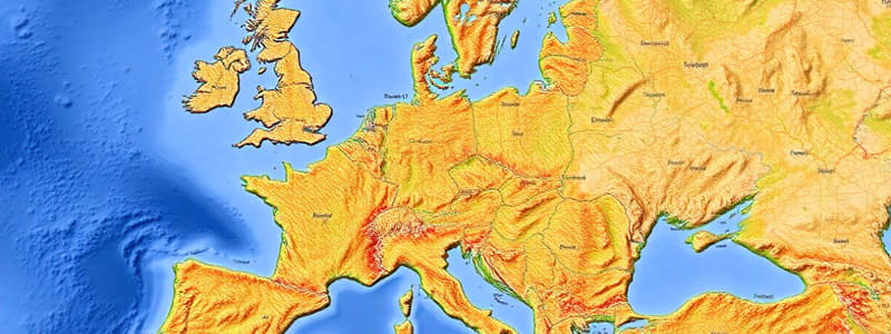
Geographic Information Systems (GIS)
- GIS, or Geographic Information System, offers exciting new ways to use maps.
- GIS combines a computer, specialized GIS software, a map, and relevant data for the map area.
- Allows for quick data display on a map
- Enables bringing up diverse data types together.
- Facilitates identification of patterns and connections.
- Aids in making quicker and better-informed decisions.
Key Questions for Understanding GIS
- "GIS" stands for Geographic Information System
- Software is part of GIS, allows displaying data very quickly
- GIS depends on data, that is anything that can be shown on a map, including names, addresses or areas at risk
- Data is shown in layers, with each having one theme shown on street maps
- Data is linked to lat/lon
- Zebra crossing example near school
- Enables users to obtain latitude and longitude.
- GIS is used e.g. crime-fighting and delivering parcels
- GIS is different than paper maps, better in many ways and helps you track where your surname has spread
Studying That Suits You
Use AI to generate personalized quizzes and flashcards to suit your learning preferences.
Related Documents
Description
Explore the basics of Geographic Information Systems (GIS), a technology that combines computers, software, maps, and data. Learn how GIS enables efficient data display, pattern identification, and informed decision-making across various applications such as crime-fighting and parcel delivery.


