Podcast
Questions and Answers
Recent satellite observations have detected that the Greenland and Antarctic ice sheets are losing ______
Recent satellite observations have detected that the Greenland and Antarctic ice sheets are losing ______
ice
Even a partial loss of these ice sheets would cause a 1-meter (3-foot) ______
Even a partial loss of these ice sheets would cause a 1-meter (3-foot) ______
rise
If lost completely, both ice sheets contain enough water to raise sea level by 66 ______
If lost completely, both ice sheets contain enough water to raise sea level by 66 ______
meters
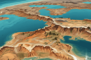
This visualization shows the effect on coastal regions for each meter of sea level ______, up to 6 meters (19.7 feet)
This visualization shows the effect on coastal regions for each meter of sea level ______, up to 6 meters (19.7 feet)
Land that would be covered in water is shaded ______
Land that would be covered in water is shaded ______
What is the potential rise in sea level if there is a complete loss of both the Greenland and Antarctic ice sheets?
What is the potential rise in sea level if there is a complete loss of both the Greenland and Antarctic ice sheets?
How many feet would the sea level rise due to a partial loss of the Greenland and Antarctic ice sheets?
How many feet would the sea level rise due to a partial loss of the Greenland and Antarctic ice sheets?
What would be the effect on coastal regions shown in the visualization if there is a 6-meter rise in sea level?
What would be the effect on coastal regions shown in the visualization if there is a 6-meter rise in sea level?
What is the total effect on coastal regions shown in the visualization for a 3-meter rise in sea level?
What is the total effect on coastal regions shown in the visualization for a 3-meter rise in sea level?
If one meter of sea level rise results in certain coastal regions being covered in water, what does the visualization show for a 4-meter rise?
If one meter of sea level rise results in certain coastal regions being covered in water, what does the visualization show for a 4-meter rise?
Flashcards are hidden until you start studying


