Podcast
Questions and Answers
What do contour lines on a topographic map represent?
What do contour lines on a topographic map represent?
Contour lines represent points of equal elevation.
What factors can influence the formation of rivers and ponds?
What factors can influence the formation of rivers and ponds?
Factors include geological structures, rainfall patterns, and human activities.
How do the spacing of contour lines indicate the steepness of a slope?
How do the spacing of contour lines indicate the steepness of a slope?
Closer contour lines indicate a steeper slope, while wider spacing shows a gentler slope.
What characterizes the tropical climate region?
What characterizes the tropical climate region?
What are the primary uses of rivers in human societies?
What are the primary uses of rivers in human societies?
What types of features might be shown on a topographic map besides elevation?
What types of features might be shown on a topographic map besides elevation?
How is the polar climate region described?
How is the polar climate region described?
What distinguishes a pond from a lake?
What distinguishes a pond from a lake?
Flashcards
What is Geography?
What is Geography?
Geography is the study of the Earth's surface, including its physical features, climate patterns, and human populations. It also explores the spatial relationships between these elements and how they interact.
What are topographic maps?
What are topographic maps?
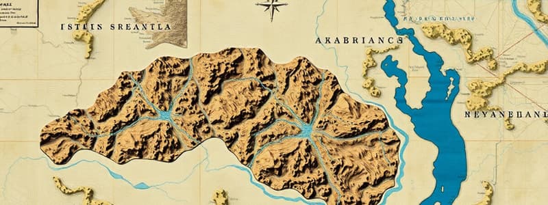
Topographic maps are two-dimensional representations of a three-dimensional area. They use contour lines to depict elevation changes.
What do contour lines represent?
What do contour lines represent?
Contour lines connect points of equal elevation on a topographic map. The closer the lines, the steeper the slope.
What are rivers?
What are rivers?
Signup and view all the flashcards
What makes rivers important?
What makes rivers important?
Signup and view all the flashcards
What are ponds?
What are ponds?
Signup and view all the flashcards
What is a Tropical Climate?
What is a Tropical Climate?
Signup and view all the flashcards
What is a Temperate Climate?
What is a Temperate Climate?
Signup and view all the flashcards
Study Notes
Geography
- Geography is the study of the Earth's surface, including its physical features, climate patterns, and human populations.
- It explores the spatial relationships between these elements and how they interact.
- Geographic studies often involve mapping and analyzing data to understand patterns and processes.
Topographic Maps
- Topographic maps are two-dimensional representations of a three-dimensional area.
- They use contour lines to depict elevation changes.
- Contour lines connect points of equal elevation.
- The closer the contour lines, the steeper the slope.
- Topographic maps are essential for understanding the terrain and planning projects such as road construction or building.
- They may also show cultural features (towns, roads, etc.), drainage patterns, and vegetation cover.
Water Sources - Rivers and Ponds
- Rivers are flowing bodies of water that originate from sources such as springs, melting glaciers, or rainfall.
- They carve channels over time, and shape the land they flow over.
- Rivers are important for transportation, irrigation, and providing drinking water.
- River systems are often complex networks of tributaries joining larger rivers.
- Ponds are relatively small bodies of standing water, often shallower than lakes, and can be natural or artificial.
- They are important habitats for aquatic life and can contribute to local water supplies.
- Factors influencing the formation of rivers and ponds include geological structures, rainfall patterns, and human activities.
Climate Regions
- Earth's climate is categorized into various regions based on temperature and precipitation.
- Each climate region has characteristics that define its weather patterns.
- The four primary climate regions are typically categorized based on temperature and rainfall; these may be further broken down into more specific classifications.
- Tropical Climate: Characterized by high temperatures and abundant rainfall throughout the year. This region is often associated with dense vegetation and lush rainforest environments.
- Temperate Climate: Features moderate temperatures and varying rainfall amounts, typically experiencing distinct seasons. This climate region is located between the tropics and the polar regions, and supports a wide variety of plant and animal life.
- Polar Climate: Extremely cold temperatures and little precipitation, often dominated by ice and snow.
- Dry Climate: Includes deserts and steppes where precipitation is scarce, leading to arid or semi-arid conditions.
Studying That Suits You
Use AI to generate personalized quizzes and flashcards to suit your learning preferences.
Description
Test your knowledge on geography, topographic maps, and water sources like rivers and ponds. This quiz will assess your understanding of the Earth's features, mapping techniques, and significance of water bodies in geography. Get ready to dive into the details!


